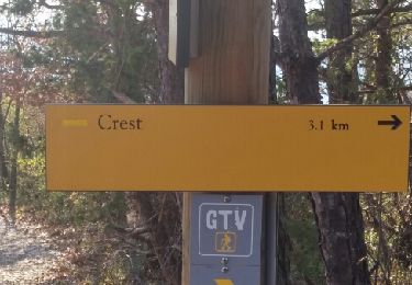
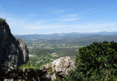
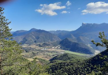
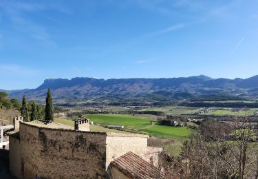
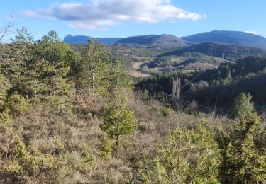
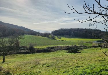
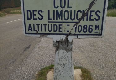
Trail Walking Aouste-sur-Sye - 26 Aoust-sur-Sye - Photo
 Maryma
Maryma

User

© OpenStreetMap contributors
Length
Length
21 km
Max alt
Max alt
605 m
Uphill gradient
Uphill gradient
590 m
Km-Effort
Km-Effort  
29 km
Min alt
Min alt
184 m
Downhill gradient
Downhill gradient
591 m
Boucle
Boucle
Yes
Creation date :
2023-10-08 06:37:10.415
Updated on :
2023-11-17 16:39:54.464

(1 Reviews)

Walking
Walking
5h16
Difficulty : Medium

Scan this QR Code to open this trail in the SityTrail application

FREE GPS app for hiking

Logo SityTrail SityTrail

IGN / Geographical institutes

Download SityTrail from the App Store Download SityTrail from Google Play

Logo SityTrail SityTrail World

The world is yours!

Download SityTrail from the App Store Download SityTrail from Google Play Download SityTrail on Huawei AppGallery

About

Trail Walking of 21 km to be discovered at Auvergne-Rhône-Alpes, Drôme, Aouste-sur-Sye. This trail is proposed by Maryma.

Description

Le groupe à marché 5h16 durant.
Nous l'avons faite avec de la pluie au départ => faire attention  aux roches glissantes sur le chemin après la montée à la tour de Crest (La Roche).
La montée en sous bois est progressive. Pas de difficulté majeure.
Faite le 15 novembre 2023

Elevation profile

Positioning

Country:
France
Region :
Auvergne-Rhône-Alpes
Department/Province :
Drôme
Municipality :
Aouste-sur-Sye
Location:
Unknown
Start:(UTM)
662877 ; 4953261 (31T) N.

Comments

Please log in to post a review or rate the element


Trails nearby

Trail Walking Crest - Crest / Col de Bessot  - Photo
Walking
patchil

Walking

Medium
(2)
Crest, Auvergne-Rhône-Alpes, Drôme, France
19.5 km | 28 km-effort
5h 52min
Yes
Trail Walking Piégros-la-Clastre - La Chapelle Saint-Médard - Description et vidéo - Photo
Walking
bob2023

Walking

Medium
(1)
Piégros-la-Clastre, Auvergne-Rhône-Alpes, Drôme, France
14.9 km | 25 km-effort
5h 16min
Yes
Trail Walking Piégros-la-Clastre - cht de Piegros, chap de Médard - Photo
Walking
GUIDE
nadd73

Walking

Medium
Piégros-la-Clastre, Auvergne-Rhône-Alpes, Drôme, France
16.3 km | 27 km-effort
4h 35min
Yes
Trail Walking Mirabel-et-Blacons - Mirabel et Balcons de La Drôme 18km - Photo
Walking
GUIDE
thonyc

Walking

Very difficult
Mirabel-et-Blacons, Auvergne-Rhône-Alpes, Drôme, France
17.7 km | 26 km-effort
5h 55min
Yes
Trail Mountain bike Aouste-sur-Sye - vtt vcs 120922 - Photo
Mountain bike
denis.benoit

Mountain bike

Medium
(1)
Aouste-sur-Sye, Auvergne-Rhône-Alpes, Drôme, France
37 km | 49 km-effort
3h 29min
No
Trail Walking Mirabel-et-Blacons - Le vieux Mirabel - Photo
Walking
Fanchon_24

Walking

Easy
Mirabel-et-Blacons, Auvergne-Rhône-Alpes, Drôme, France
17.2 km | 22 km-effort
3h 20min
No
Trail Walking Aouste-sur-Sye - crête de Saint Alban. Aoust - Photo
Walking
Fanchon_24

Walking

Difficult
Aouste-sur-Sye, Auvergne-Rhône-Alpes, Drôme, France
9.7 km | 12.1 km-effort
2h 42min
No
Trail Walking Crest - Crest à  VAUNAVEY - Photo
Walking
Fanchon_24

Walking

Very easy
Crest, Auvergne-Rhône-Alpes, Drôme, France
9.2 km | 11.5 km-effort
1h 58min
No
Trail Road bike Crest - j3 Crest limouche vauna vaunaveys 01.07.23 - Photo
Road bike
GUIDE
randodyssée

Road bike

Medium
Crest, Auvergne-Rhône-Alpes, Drôme, France
66 km | 85 km-effort
5h 58min
No


Close
My subscriptions