


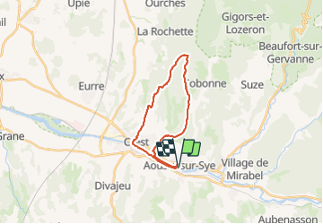

19.5 km | 28 km-effort


User


FREE GPS app for hiking
 SityTrail
IGN / Geographical institutes
SityTrail World
The world is yours!
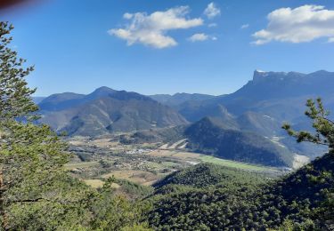
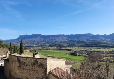
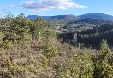
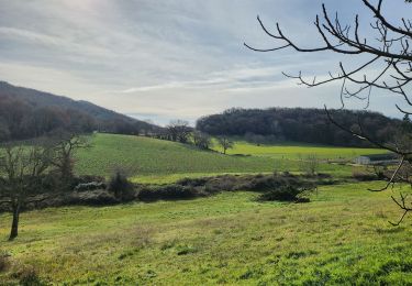
Trail Walking of 21 km to be discovered at Auvergne-Rhône-Alpes, Drôme, Aouste-sur-Sye. This trail is proposed by Maryma.
Le groupe à marché 5h16 durant.
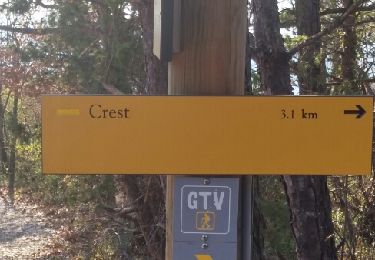
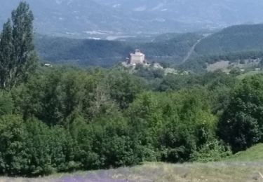
Nous l'avons faite avec de la pluie au départ => faire attention aux roches glissantes sur le chemin après la montée à la tour de Crest (La Roche).
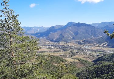
La montée en sous bois est progressive. Pas de difficulté majeure.
Faite le 15 novembre 2023
Walking

Walking
Walking
Walking
Walking

Mountain bike
Walking
Walking
Walking