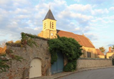
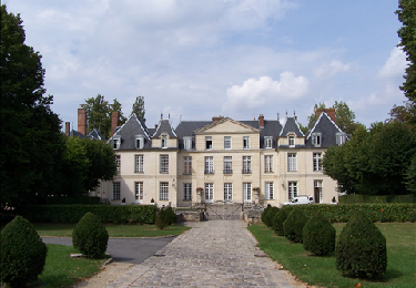
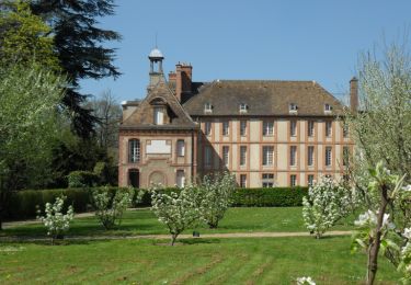
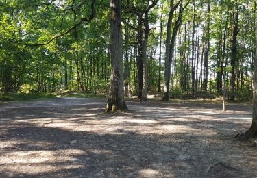
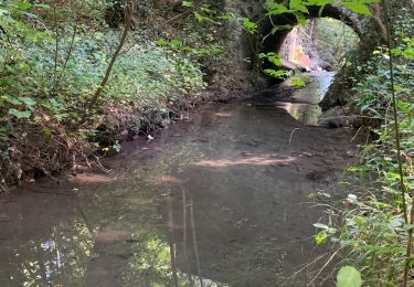
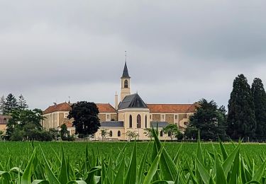
6.3 km | 8 km-effort
footing forêt Papa 6/10/23
tm.citroen
User
Length
6.1 km
Max alt
179 m
Uphill gradient
66 m
Km-Effort
6.9 km
Min alt
148 m
Downhill gradient
66 m
Boucle
Yes
Creation date :
2023-10-06 16:38:47.871
Updated on :
2023-10-07 08:44:53.216
39m
Difficulty : Very easy
FREE GPS app for hiking
About
Trail Running of 6.1 km to be discovered at Ile-de-France, Yvelines, Montigny-le-Bretonneux. This trail is proposed by tm.citroen.
Positioning
Country:
France
Region :
Ile-de-France
Department/Province :
Yvelines
Municipality :
Montigny-le-Bretonneux
Location:
Unknown
Start:(Dec)
Start:(UTM)
428075 ; 5402240 (31U) N.
Comments
Trails nearby
_Le Vallon du Pommeret
Walking
Easy
(11)
Lévis-Saint-Nom,
Ile-de-France,
Yvelines,
France
1h 30min
Yes
_La Vallée de la Mérantaise
Walking
Easy
(5)
Magny-les-Hameaux,
Ile-de-France,
Yvelines,
France
9.7 km | 11.6 km-effort
2h 30min
Yes
_Entre ancienne châtellenie et Ville nouvelle
Walking
Easy
(1)
Le Mesnil-Saint-Denis,
Ile-de-France,
Yvelines,
France
8.6 km | 9.5 km-effort
2h 30min
Yes
_Sur les pas de Racine (deuxième partie)
Walking
Easy
(2)
Saint-Lambert,
Ile-de-France,
Yvelines,
France
10.5 km | 12.5 km-effort
2h 30min
Yes
Yvelines_Milon-La-Chapelle=>Chemins_Beauregard&Jean-Racine=>Chevreuse
Walking
Easy
(1)
Milon-la-Chapelle,
Ile-de-France,
Yvelines,
France
9.3 km | 12.7 km-effort
1h 56min
Yes
Merantaise réel
Walking
Difficult
(1)
Magny-les-Hameaux,
Ile-de-France,
Yvelines,
France
11.3 km | 14.2 km-effort
3h 18min
Yes
Boucle 23 km à partir de Port Royal des Champs
Walking
Easy
Magny-les-Hameaux,
Ile-de-France,
Yvelines,
France
23 km | 28 km-effort
4h 56min
Yes
Domaine d'Ors - Villiers Le Bacle
Walking
Easy
(1)
Magny-les-Hameaux,
Ile-de-France,
Yvelines,
France
8.3 km | 9.9 km-effort
2h 14min
Yes
14102013
Mountain bike
Medium
(1)
Saint-Cyr-l'École,
Ile-de-France,
Yvelines,
France
42 km | 50 km-effort
3h 11min
Yes