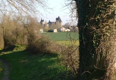
40 km | 50 km-effort
79 SAINT CHRISTOPHE SUR ROC Circuit des Ruisseaux
maioy
User
Length
10.5 km
Max alt
114 m
Uphill gradient
159 m
Km-Effort
12.6 km
Min alt
61 m
Downhill gradient
159 m
Boucle
Yes
Creation date :
2015-02-03 00:00:00.0
Updated on :
2015-02-03 00:00:00.0
2h44
Difficulty : Unknown
FREE GPS app for hiking
About
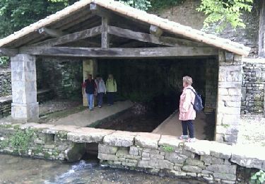
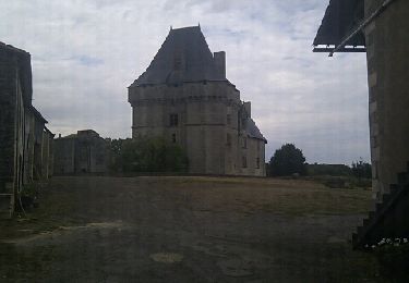
Trail Walking of 10.5 km to be discovered at New Aquitaine, Deux-Sèvres, Saint-Christophe-sur-Roc. This trail is proposed by maioy.
Positioning
Country:
France
Region :
New Aquitaine
Department/Province :
Deux-Sèvres
Municipality :
Saint-Christophe-sur-Roc
Location:
Unknown
Start:(Dec)
Start:(UTM)
703698 ; 5147103 (30T) N.
Comments
Trails nearby
Bois Aigu Clavé 2
Horseback riding
Very difficult
(1)
Augé,
New Aquitaine,
Deux-Sèvres,
France
6h 32min
Yes
St Christophe sur Roc
Walking
Easy
Saint-Christophe-sur-Roc,
New Aquitaine,
Deux-Sèvres,
France
10.9 km | 13 km-effort
2h 49min
Yes
Champeaux
Walking
Easy
Champdeniers,
New Aquitaine,
Deux-Sèvres,
France
8.1 km | 9.8 km-effort
2h 8min
Yes
Cherveux- 9,1km
Walking
Medium
Cherveux,
New Aquitaine,
Deux-Sèvres,
France
9.1 km | 10.5 km-effort
2h 19min
Yes
Cherveux . (ATSCAF) 10km
Walking
Easy
Cherveux,
New Aquitaine,
Deux-Sèvres,
France
10.1 km | 11.8 km-effort
2h 42min
Yes
Fonvérine circuit 2
Walking
Medium
Azay-le-Brûlé,
New Aquitaine,
Deux-Sèvres,
France
9.5 km | 11.9 km-effort
2h 33min
Yes
2021-02-27 Autour de Cherveux
Walking
Medium
Cherveux,
New Aquitaine,
Deux-Sèvres,
France
6.3 km | 7.3 km-effort
1h 39min
Yes
Fonvérine circuit 1
Walking
Medium
Azay-le-Brûlé,
New Aquitaine,
Deux-Sèvres,
France
9.4 km | 11.8 km-effort
2h 30min
Yes
2017-09-19 Autour de Cherveux
Walking
Medium
Cherveux,
New Aquitaine,
Deux-Sèvres,
France
11.8 km | 13.9 km-effort
3h 2min
Yes