7.9 km | 10.3 km-effort
eze_la_madonne-14528454-1696410056-998
topolino
User
Length
86 km
Max alt
930 m
Uphill gradient
2409 m
Km-Effort
118 km
Min alt
65 m
Downhill gradient
2412 m
Boucle
Yes
Creation date :
2023-10-04 09:01:31.149
Updated on :
2023-10-04 09:01:31.149
7h10
Difficulty : Very difficult
FREE GPS app for hiking
About
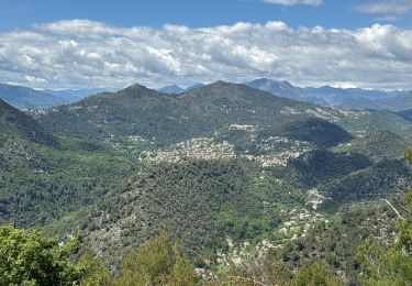
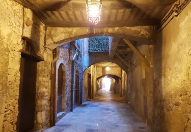
Trail Road bike of 86 km to be discovered at Provence-Alpes-Côte d'Azur, Maritime Alps, La Trinité. This trail is proposed by topolino.
Positioning
Country:
France
Region :
Provence-Alpes-Côte d'Azur
Department/Province :
Maritime Alps
Municipality :
La Trinité
Location:
Unknown
Start:(Dec)
Start:(UTM)
363993 ; 4843945 (32T) N.
Comments
Trails nearby
Ballade chemin des douaniers Nice-Villefranche
Walking
Very easy
(1)
Nice,
Provence-Alpes-Côte d'Azur,
Maritime Alps,
France
2h 13min
No
Cap Ferrat 2011-10-27
Walking
Medium
(2)
Saint-Jean-Cap-Ferrat,
Provence-Alpes-Côte d'Azur,
Maritime Alps,
France
10.9 km | 14 km-effort
4h 0min
Yes
Cantaron : Monts Macaron et Ubac par Levens Tourette réelle
Walking
Very difficult
Cantaron,
Provence-Alpes-Côte d'Azur,
Maritime Alps,
France
19.7 km | 35 km-effort
7h 57min
Yes
Circuit du mont Bastide
On foot
Easy
Èze,
Provence-Alpes-Côte d'Azur,
Maritime Alps,
France
7 km | 14.7 km-effort
3h 20min
Yes
Mont Bastide, sentier de Nietzsche
Walking
Easy
(1)
Èze,
Provence-Alpes-Côte d'Azur,
Maritime Alps,
France
7.2 km | 15.1 km-effort
3h 15min
Yes
Tour du Cap Ferrat
Walking
Easy
Saint-Jean-Cap-Ferrat,
Provence-Alpes-Côte d'Azur,
Maritime Alps,
France
7.1 km | 9.4 km-effort
1h 40min
Yes
eze 221213
Walking
Medium
(1)
Èze,
Provence-Alpes-Côte d'Azur,
Maritime Alps,
France
9.9 km | 14.7 km-effort
2h 4min
Yes
Nice cathédrale Russe
Walking
Very easy
Nice,
Provence-Alpes-Côte d'Azur,
Maritime Alps,
France
6.9 km | 7.8 km-effort
2h 10min
Yes
Cantaron : Monts Macaron et Ubac
Walking
Medium
Cantaron,
Provence-Alpes-Côte d'Azur,
Maritime Alps,
France
19 km | 34 km-effort
7h 47min
Yes