


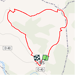


20 km | 24 km-effort


User


FREE GPS app for hiking
 SityTrail
IGN / Geographical institutes
SityTrail World
The world is yours!
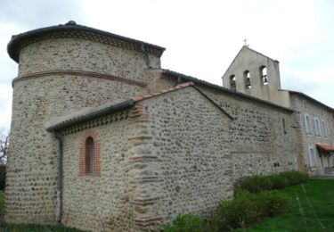
Trail Walking of 5.2 km to be discovered at Occitania, Ariège, Vals. This trail is proposed by lasvergn.
Charmant tour des collines de Vals
Walking
Walking

Equestrian
Equestrian
Mountain bike

Walking
Walking
Walking
Walking