


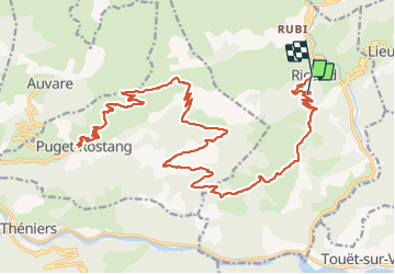

16.6 km | 30 km-effort


User


FREE GPS app for hiking
 SityTrail
IGN / Geographical institutes
SityTrail World
The world is yours!
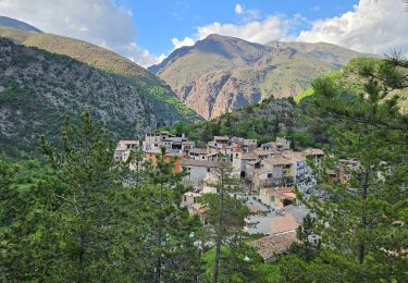
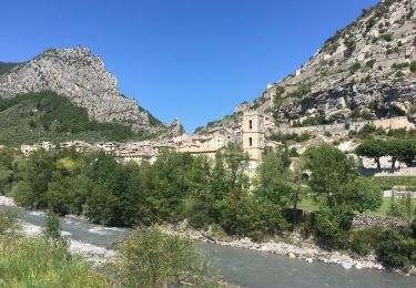
Trail Mountain bike of 44 km to be discovered at Provence-Alpes-Côte d'Azur, Maritime Alps, Rigaud. This trail is proposed by franquen.
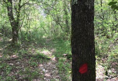
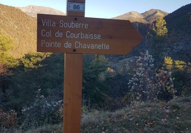
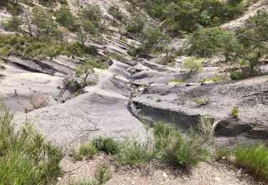
rando assez longue mais pas difficile de beaux paysages notamment la descente sur Puget Rostang. Chemin très caillouteux pour atteindre le col.
Walking
Walking
Snowshoes
Walking

Walking
On foot
On foot
Road bike
Walking