26 km | 36 km-effort
Circuits col de Lauvy / moinats
Emmanuel Remy
User
Length
3.3 km
Max alt
957 m
Uphill gradient
99 m
Km-Effort
4.6 km
Min alt
859 m
Downhill gradient
99 m
Boucle
Yes
Creation date :
2023-09-30 08:52:31.543
Updated on :
2023-10-12 09:43:42.597
1h02
Difficulty : Easy
FREE GPS app for hiking
About
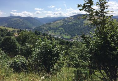
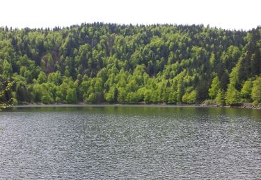
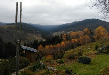
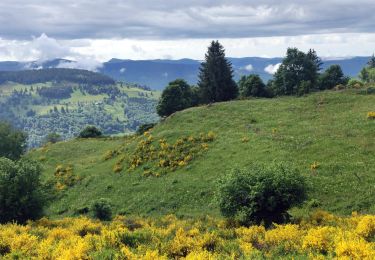
Trail Walking of 3.3 km to be discovered at Grand Est, Vosges, Saulxures-sur-Moselotte. This trail is proposed by Emmanuel Remy.
Positioning
Country:
France
Region :
Grand Est
Department/Province :
Vosges
Municipality :
Saulxures-sur-Moselotte
Location:
Unknown
Start:(Dec)
Start:(UTM)
336418 ; 5315450 (32T) N.
Comments
Trails nearby
la bresse - le moutier des fées
Walking
Very easy
(1)
La Bresse,
Grand Est,
Vosges,
France
3h 26min
No
Le Couchetat
Walking
Very easy
(2)
La Bresse,
Grand Est,
Vosges,
France
4.8 km | 7.4 km-effort
1h 50min
Yes
Le col du Brabant et le lac des Corbeaux
Walking
Medium
(2)
La Bresse,
Grand Est,
Vosges,
France
10.3 km | 16.4 km-effort
3h 51min
Yes
L'Ermitage du Frère Joseph depuis Ventron
Walking
Easy
(1)
Ventron,
Grand Est,
Vosges,
France
10.2 km | 15.4 km-effort
2h 49min
Yes
2022-06-05 Rando CVA Gerbamont Dommartin les Remiremont
Horseback riding
Difficult
Gerbamont,
Grand Est,
Vosges,
France
24 km | 34 km-effort
5h 10min
No
2022-06-04 Rando CVA Gerbamont Boucle Foret de Noire Goutte
Horseback riding
Very difficult
Gerbamont,
Grand Est,
Vosges,
France
31 km | 43 km-effort
6h 2min
Yes
2022-02-19 Marche Ventron Tête des Champs
Walking
Very difficult
Ventron,
Grand Est,
Vosges,
France
22 km | 34 km-effort
5h 52min
Yes
Vosges saulxure sur Moselotte Etang des fées coteau du bambois 3,6km 22072019
Walking
Easy
(2)
Saulxures-sur-Moselotte,
Grand Est,
Vosges,
France
3.6 km | 4.7 km-effort
1h 22min
Yes
OR-6098071--Bresse (La):CIRCUIT VTT N°14
Mountain bike
Medium
La Bresse,
Grand Est,
Vosges,
France
16.1 km | 22 km-effort
1h 30min
Yes