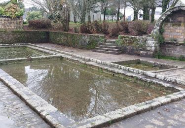
9.5 km | 10.8 km-effort
pluvigner 0923
legallo
User
Length
8.9 km
Max alt
91 m
Uphill gradient
90 m
Km-Effort
10.1 km
Min alt
60 m
Downhill gradient
91 m
Boucle
Yes
Creation date :
2023-09-29 12:28:13.068
Updated on :
2023-09-29 15:23:59.362
2h41
Difficulty : Medium
FREE GPS app for hiking
About
Trail Walking of 8.9 km to be discovered at Brittany, Morbihan, Pluvigner. This trail is proposed by legallo.
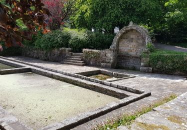
Positioning
Country:
France
Region :
Brittany
Department/Province :
Morbihan
Municipality :
Pluvigner
Location:
Unknown
Start:(Dec)
Start:(UTM)
499767 ; 5292623 (30T) N.
Comments
Trails nearby
PR_56_Pluvignier_AA_01_Circuit1b_St-Tremeur_20200512
Walking
Very easy
(1)
Pluvigner,
Brittany,
Morbihan,
France
2h 7min
Yes
PR_56_Pluvignier_BA_02_Circuit3a_Le-Bourg-Et-Ses-Lavoirs_20231211
Walking
Very easy
Pluvigner,
Brittany,
Morbihan,
France
6.8 km | 7.7 km-effort
1h 44min
Yes
Boucle dans la forêt de Florange à partir de Bieuzy Lanvaux
Electric bike
Medium
(1)
Pluvigner,
Brittany,
Morbihan,
France
18.3 km | 23 km-effort
1h 38min
Yes
CAMORS -alignements de Cornevec
Walking
Easy
Camors,
Brittany,
Morbihan,
France
9.9 km | 11.9 km-effort
2h 34min
Yes
pluvigner 0717
Walking
Easy
Pluvigner,
Brittany,
Morbihan,
France
11.1 km | 12.5 km-effort
2h 37min
Yes
pluvigner
Walking
Very easy
Pluvigner,
Brittany,
Morbihan,
France
10.3 km | 11.5 km-effort
2h 33min
Yes
Forêt de Camors
Walking
Easy
Camors,
Brittany,
Morbihan,
France
15.4 km | 18.2 km-effort
3h 58min
Yes