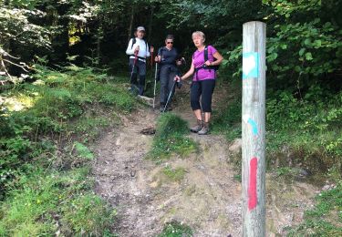
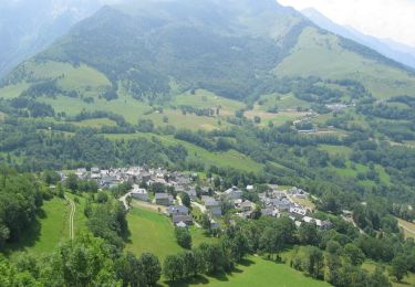
4.4 km | 5.9 km-effort
SityTrail - 3277726 - rebouc-les-landes-de-rebouc-x-g3-x--3277726
JACQUESD
User
Length
8.5 km
Max alt
980 m
Uphill gradient
417 m
Km-Effort
14.1 km
Min alt
589 m
Downhill gradient
417 m
Boucle
Yes
Creation date :
2023-09-28 14:22:11.668
Updated on :
2023-09-28 14:22:11.668
3h12
Difficulty : Difficult
FREE GPS app for hiking
About
Trail Walking of 8.5 km to be discovered at Occitania, Hautespyrenees, Hèches. This trail is proposed by JACQUESD.
Description
Sortie commune du 17 juin 2022
Points of interest
Positioning
Country:
France
Region :
Occitania
Department/Province :
Hautespyrenees
Municipality :
Hèches
Location:
Unknown
Start:(Dec)
Start:(UTM)
286308 ; 4764235 (31T) N.
Comments
Trails nearby
FEU 2015 - Etape 3
Walking
Easy
(3)
Esparros,
Occitania,
Hautespyrenees,
France
23 km | 32 km-effort
6h 45min
No
FEU 2015 - Etape 2
Walking
Easy
(1)
Lortet,
Occitania,
Hautespyrenees,
France
7.8 km | 12.5 km-effort
2h 34min
No
Pacte des loups
Walking
Medium
(2)
Esparros,
Occitania,
Hautespyrenees,
France
10.9 km | 18 km-effort
Unknown
Yes
REBOUC sortie commune LPC trace revue et corrigée "3822705"
Walking
Medium
Hèches,
Occitania,
Hautespyrenees,
France
6.1 km | 8.5 km-effort
1h 55min
Yes
plo de Berdaoulou
Walking
Medium
Sarrancolin,
Occitania,
Hautespyrenees,
France
12.9 km | 26 km-effort
7h 12min
Yes
Voie d'Aure
On foot
Very difficult
Lortet,
Occitania,
Hautespyrenees,
France
56 km | 87 km-effort
19h 50min
No
Pacte des loups
Walking
Medium
Esparros,
Occitania,
Hautespyrenees,
France
7.8 km | 13.3 km-effort
5h 27min
Yes
Le col d'Azet en VTT
Mountain bike
Very difficult
Sarrancolin,
Occitania,
Hautespyrenees,
France
28 km | 43 km-effort
2h 30min
No