


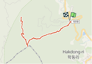

7.8 km | 14.5 km-effort

User GUIDE


FREE GPS app for hiking
 SityTrail
IGN / Geographical institutes
SityTrail World
The world is yours!
Trail Walking of 6.6 km to be discovered at Gyeongsangnam-do, Geoje-si. This trail is proposed by dudu42.
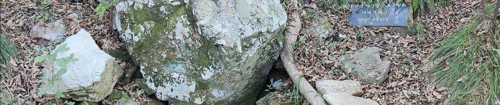
Départ du sentier situé 10m après le petit parking a droite après celui du téléphérique. Chemin très raide au début puis moins prononcé par la suite. En sous bois, permet de ne pas souffrir de la chaleur ! . Arrivé à la gare du téléphérique, prendre la passerelle en bois pour rejoindre les 2 plateformes panoramique. Peu de monde sur le sentier , les gens préfèrent monter en télécabine


Walking