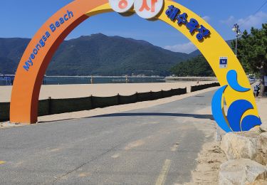
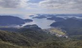
Trail Walking Unknown - Randonnée au Peak Garasan  - Photo
 dudu42
dudu42

User

© OpenStreetMap contributors
Length
Length
6.6 km
Max alt
Max alt
554 m
Uphill gradient
Uphill gradient
489 m
Km-Effort
Km-Effort  
13.1 km
Min alt
Min alt
197 m
Downhill gradient
Downhill gradient
490 m
Boucle
Boucle
Yes
Creation date :
2023-09-28 03:22:48.41
Updated on :
2023-09-28 07:29:01.823

(0 Reviews)

Walking
Walking
2h38
Difficulty : Difficult

Scan this QR Code to open this trail in the SityTrail application

FREE GPS app for hiking

Logo SityTrail SityTrail
IGN / Geographical institutes

Download SityTrail from the App Store Download SityTrail from Google Play

Logo SityTrail SityTrail World
The world is yours!

Download SityTrail from the App Store Download SityTrail from Google Play Download SityTrail on Huawei AppGallery

About

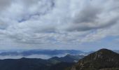
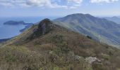
Trail Walking of 6.6 km to be discovered at Gyeongsangnam-do, Geoje-si. This trail is proposed by dudu42.

Description

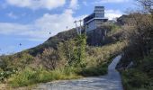
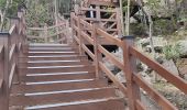
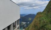
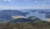
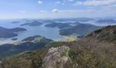
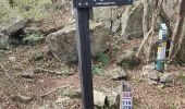
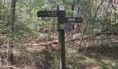
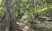
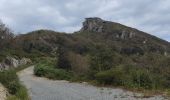
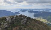
Départ du sentier situé 10m après le petit parking a droite après celui du téléphérique. Chemin très raide au début puis moins prononcé par la suite. En sous bois, permet de ne pas souffrir de la chaleur ! . Arrivé à la gare du téléphérique, prendre la passerelle en bois pour rejoindre les 2 plateformes panoramique. Peu de monde sur le sentier , les gens préfèrent monter en télécabine

Elevation profile

Photos

Positioning

Country:
Korea, Republic of
Region :
Gyeongsangnam-do
Department/Province :
Geoje-si
Municipality :
Unknown
Location:
Unknown
Start:(UTM)
466367 ; 3849093 (52S) N.

Trails nearby

Trail Walking  - Autour du Peak Mangsan  - Photo
Walking
dudu42

Walking

Difficult
, Gyeongsangnam-do, Geoje-si, Korea, Republic of
7.8 km | 14.5 km-effort
3h 31min
No


Close
My subscriptions