


Sinara sardaigne

PVERTICAL
User
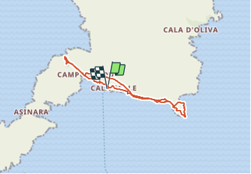

Length
14.3 km

Max alt
27 m

Uphill gradient
120 m
Km-Effort
15.9 km

Min alt
-1 m

Downhill gradient
128 m
Boucle
Yes
Creation date :
2023-09-27 07:55:35.0
Updated on :
2023-09-27 16:16:05.081

FREE GPS app for hiking
 SityTrail
IGN / Geographical institutes
SityTrail World
The world is yours!
About
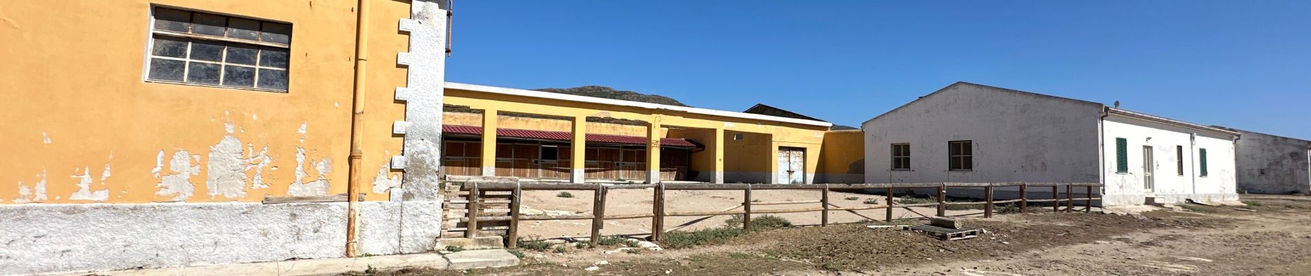
Trail of 14.3 km to be discovered at Sardinia, Sassari, Posthudorra/Porto Torres. This trail is proposed by PVERTICAL.
Photos


Positioning
Country:
Italy
Region :
Sardinia
Department/Province :
Sassari
Municipality :
Posthudorra/Porto Torres
Location:
Unknown
Start:(Dec)
Start:(UTM)
440730 ; 4545938 (32T) N.
Comments
Trails nearby