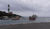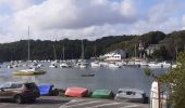

Doëlan

norbertdenise
User

Length
6.7 km

Max alt
34 m

Uphill gradient
76 m

Km-Effort
7.7 km

Min alt
1 m

Downhill gradient
73 m
Boucle
Yes
Creation date :
2023-09-27 13:08:21.291
Updated on :
2023-09-27 20:21:43.073
1h44
Difficulty : Medium

FREE GPS app for hiking
About
Trail Walking of 6.7 km to be discovered at Brittany, Finistère, Clohars-Carnoët. This trail is proposed by norbertdenise.
Description
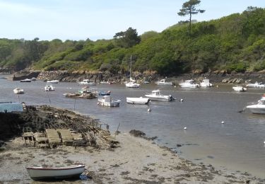
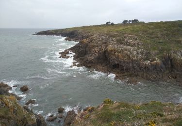
Ballade le long de l'anse de Doëlan où se trouve le port et le long de la côte avec retour par les terres jusqu'à la chapelle de Kerdoalen
Positioning
Country:
France
Region :
Brittany
Department/Province :
Finistère
Municipality :
Clohars-Carnoët
Location:
Unknown
Start:(Dec)
Start:(UTM)
454350 ; 5291661 (30T) N.
Comments
Trails nearby
Merrien Doelan cote 11,5 km


Walking
Medium
Moëlan-sur-Mer,
Brittany,
Finistère,
France

12 km | 13.7 km-effort
3h 41min
No
Pouldu port peintres 6,3 km


Walking
Easy
Clohars-Carnoët,
Brittany,
Finistère,
France

6.3 km | 7.2 km-effort
2h 12min
Yes
Pouldu Roche Percée et retour 9,5 km


Walking
Medium
Clohars-Carnoët,
Brittany,
Finistère,
France

9.5 km | 10.7 km-effort
2h 46min
Yes
routoirs à lin de Pouldouran


Walking
Easy
Moëlan-sur-Mer,
Brittany,
Finistère,
France

126 km | 155 km-effort
3h 11min
No
MOELAN Sur MER


Walking
Medium
Moëlan-sur-Mer,
Brittany,
Finistère,
France

10.2 km | 11.8 km-effort
3h 22min
Yes
MOËLAN SUR MER


Walking
Medium
Moëlan-sur-Mer,
Brittany,
Finistère,
France

9.7 km | 10.9 km-effort
2h 45min
Yes
CLOHARS CARNOËT


Walking
Easy
Clohars-Carnoët,
Brittany,
Finistère,
France

9.7 km | 11 km-effort
2h 27min
Yes

GR 34


Walking
Medium
Clohars-Carnoët,
Brittany,
Finistère,
France

11.8 km | 13.4 km-effort
4h 39min
Yes


 SityTrail


