


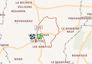

18.2 km | 21 km-effort


User


FREE GPS app for hiking
 SityTrail
IGN / Geographical institutes
SityTrail World
The world is yours!
Trail On foot of 5.8 km to be discovered at Centre-Loire Valley, Indre, Gournay. This trail is proposed by fanthou.
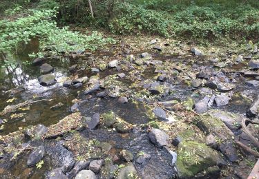
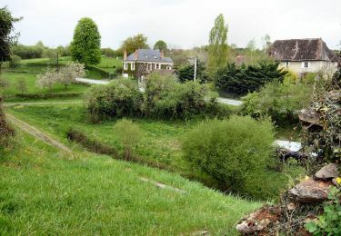
Balade dans le village dynamique de Gournay dont la volonté de développement est très forte. C'est un circuit agréable au cœur du bocage idéal pour digérer le repas dominical.
Walking
Walking
Walking

Walking

Equestrian
Walking
Walking
Walking
Walking