


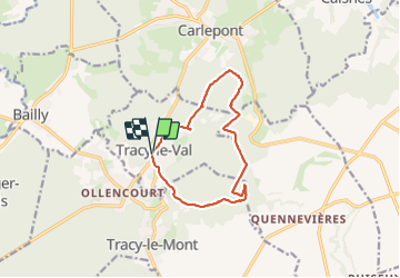

12.1 km | 13.6 km-effort


User


FREE GPS app for hiking
 SityTrail
IGN / Geographical institutes
SityTrail World
The world is yours!
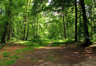
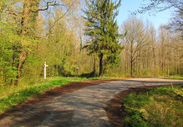
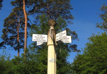
Trail Walking of 10.8 km to be discovered at Hauts-de-France, Oise, Tracy-le-Val. This trail is proposed by José800.
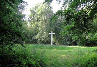
beau parcours, village , forêt , circuit du souvenir de 14-18 . Une superbe église.

Walking
Walking
Walking
Walking
On foot
On foot
Walking
Walking

Walking