


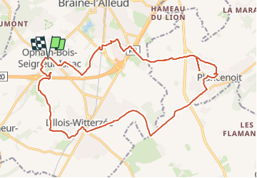

21 km | 27 km-effort


User


FREE GPS app for hiking
 SityTrail
IGN / Geographical institutes
SityTrail World
The world is yours!
Trail Walking of 21 km to be discovered at Wallonia, Walloon Brabant, Braine-l’Alleud. This trail is proposed by jeangulu.
Organisateur _ BBW 016 - LES MARCHEURS DU HAIN.
- - -47 Marche de l'Empereur.
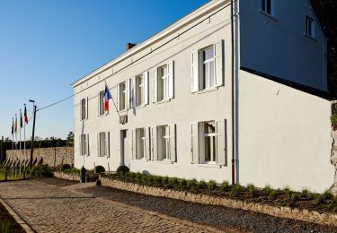
Point de départ _ Salle Communale Rue des Combattants 3 - 1421 - OPHAIN-BOIS-SEIGNEUR-ISAAC.

Walking

Walking

Mountain bike

Mountain bike

Walking

Walking
Walking
Walking

Walking