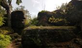
Trail Walking Saint-Dié-des-Vosges - Massif de l'Ormont et ses rochers remarquables - Photo

Massif de l'Ormont et ses rochers remarquables

 Bart2015
Bart2015

User

© OpenStreetMap contributors
Length
Length
15.9 km
Max alt
Max alt
888 m
Uphill gradient
Uphill gradient
670 m
Km-Effort
Km-Effort  
25 km
Min alt
Min alt
511 m
Downhill gradient
Downhill gradient
671 m
Boucle
Boucle
Yes
Creation date :
2023-09-17 08:40:33.449
Updated on :
2023-09-18 09:46:02.219

(0 Reviews)

Walking
Walking
5h38
Difficulty : Very difficult

Scan this QR Code to open this trail in the SityTrail application

FREE GPS app for hiking

Logo SityTrail SityTrail
IGN / Geographical institutes

Download SityTrail from the App Store Download SityTrail from Google Play

Logo SityTrail SityTrail World
The world is yours!

Download SityTrail from the App Store Download SityTrail from Google Play Download SityTrail on Huawei AppGallery

About

Trail Walking of 15.9 km to be discovered at Grand Est, Vosges, Saint-Dié-des-Vosges. This trail is proposed by Bart2015.

Description

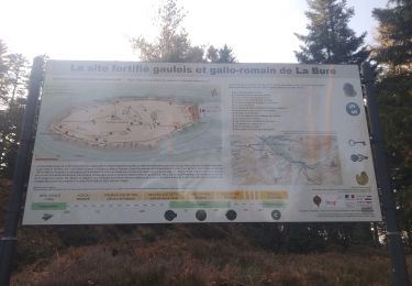
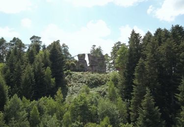
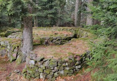
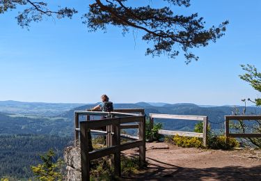
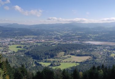
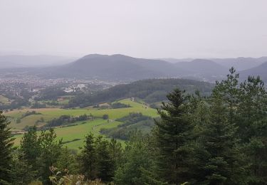
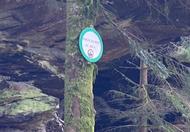
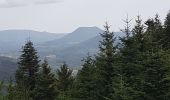
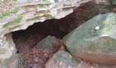
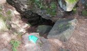
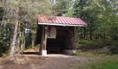
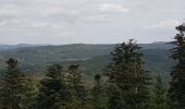
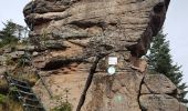
Cette belle randonnée vous emmène sur les hauteurs de St Dié-des-Vosges au travers de rochers remarquables qui vous accompagne sur les crètes. Certains sont équipés d'échelle d'escalade qui vous permettront de découvrir des panoramas magnifiques sur la région alentour. Cette montagne gréseuse et mystérieuse regorge d’histoires fantastiques de fée, de géant, de sorcière, etc. Elle était également un point d’observation privilégié durant la Grande Guerre, les nombreux vestiges surprenants en témoignent ...
Bonne rando ...
NB : elle peut être raccourcie en empruntant le sentier menant à la cascade des Molière au niveau de la Roche du Sapin Sec ...

Elevation profile

Photos

39 photos in total. Please click on a photo to see them all in the gallery.

Positioning

Country:
France
Region :
Grand Est
Department/Province :
Vosges
Municipality :
Saint-Dié-des-Vosges
Location:
Unknown
Start:(UTM)
349308 ; 5351765 (32U) N.

Trails nearby

Trail Mountain bike Saint-Dié-des-Vosges - vtt la voivre La Bure 29-03-19 - Photo
Mountain bike
vathi54

Mountain bike

Difficult
(2)
Saint-Dié-des-Vosges, Grand Est, Vosges, France
20 km | 28 km-effort
2h 48min
Yes
Trail On foot Taintrux - GR de Pays de Déodatie - Photo
On foot
GUIDE+

On foot

Easy
Taintrux, Grand Est, Vosges, France
7.9 km | 12.5 km-effort
2h 49min
No
Trail Walking Saint-Dié-des-Vosges - 2019-03-07 Marche Montée des Schlitteurs - Photo
Walking
GUIDE
holtzv

Walking

Very easy
Saint-Dié-des-Vosges, Grand Est, Vosges, France
11.3 km | 19.6 km-effort
4h 35min
Yes
Trail Walking Taintrux - suuntoapp-Hiking-2024-05-10T08-54-36Z - Photo
Walking
GUIDE
holtzv

Walking

Medium
Taintrux, Grand Est, Vosges, France
18.8 km | 32 km-effort
7h 14min
No
Trail Walking Saint-Dié-des-Vosges - 2021-10-08 Marche St Die Metzeral Jour 1 - Photo
Walking
GUIDE
holtzv

Walking

Very difficult
Saint-Dié-des-Vosges, Grand Est, Vosges, France
26 km | 39 km-effort
7h 40min
No
Trail Walking Saint-Dié-des-Vosges - Balade autour du Col de la Crenée - Photo
Walking
Jullido1

Walking

Easy
(1)
Saint-Dié-des-Vosges, Grand Est, Vosges, France
11.4 km | 17 km-effort
3h 48min
Yes
Trail Walking Saint-Dié-des-Vosges - Marche 15km Ormont 07-05-21 - Photo
Walking
1957

Walking

Very difficult
Saint-Dié-des-Vosges, Grand Est, Vosges, France
13.5 km | 25 km-effort
4h 3min
Yes
Trail Horseback riding Ban-de-Sapt - Boucle BanDeSapt Quatre Bornes - Photo
Horseback riding
GUIDE+

Horseback riding

Medium
Ban-de-Sapt, Grand Est, Vosges, France
18.9 km | 26 km-effort
3h 13min
Yes
Trail Walking Saint-Dié-des-Vosges - ormont - Photo
Walking
lacote

Walking

Easy
(1)
Saint-Dié-des-Vosges, Grand Est, Vosges, France
13.5 km | 20 km-effort
6h 52min
Yes


Close
My subscriptions