


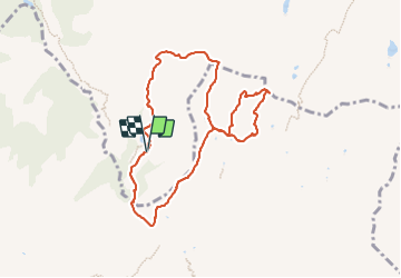

13.6 km | 26 km-effort


User


FREE GPS app for hiking
 SityTrail
IGN / Geographical institutes
SityTrail World
The world is yours!
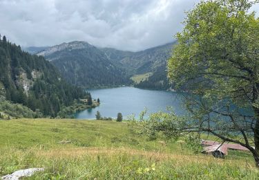
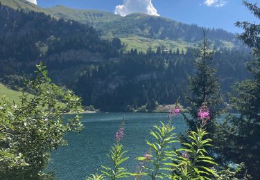
Trail Walking of 8.8 km to be discovered at Auvergne-Rhône-Alpes, Savoy, Beaufort. This trail is proposed by fafa74.
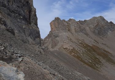
Belle boucle offrant de magnifiques points de vues avec, en point d'orgue, un panorama à 360° au sommet du Mont coin.
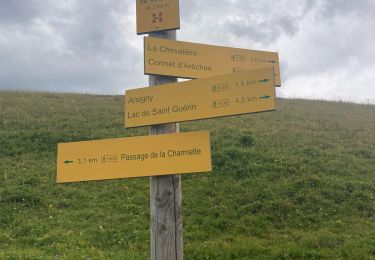
Pour info, l'itinéraire emprunte pour 1/4 des traces non balisées (possibilité de suivre les chemins balisés mais qui entraînent des détours)

Walking
Walking
Walking

Walking
Walking
Walking
Walking
Walking
Walking