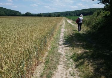
18.5 km | 21 km-effort
Champignolles
DranoelNiala
User
Length
9.1 km
Max alt
183 m
Uphill gradient
148 m
Km-Effort
11.1 km
Min alt
127 m
Downhill gradient
152 m
Boucle
Yes
Creation date :
2023-09-15 12:21:51.499
Updated on :
2023-09-15 15:07:39.941
2h21
Difficulty : Medium
FREE GPS app for hiking
About
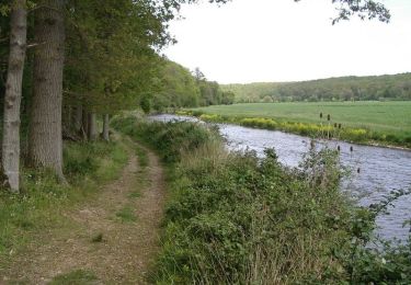
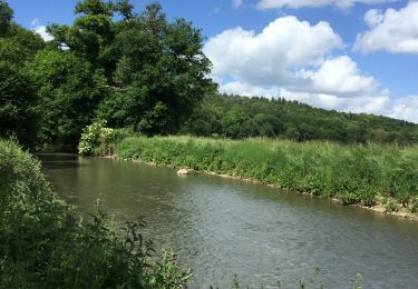
Trail Walking of 9.1 km to be discovered at Normandy, Eure, La Vieille-Lyre. This trail is proposed by DranoelNiala.
Positioning
Country:
France
Region :
Normandy
Department/Province :
Eure
Municipality :
La Vieille-Lyre
Location:
Unknown
Start:(Dec)
Start:(UTM)
336191 ; 5424898 (31U) N.
Comments
Trails nearby
Circuit des Moulins - La Houssaye
Walking
Difficult
(2)
La Houssaye,
Normandy,
Eure,
France
12.3 km | 14.4 km-effort
3h 4min
Yes
Circuit de la Pinçonniére - Bosc - Renoult-en-Ouche
Mountain bike
Easy
Mesnil-en-Ouche,
Normandy,
Eure,
France
7.7 km | 8.4 km-effort
1h 0min
Yes
Circuit de la Pinçonniére - Bosc - Renoult-en-Ouche
Walking
Medium
Mesnil-en-Ouche,
Normandy,
Eure,
France
7.7 km | 8.4 km-effort
2h 0min
Yes
Ferrieres entre risle et colombages
Walking
Easy
(1)
La Ferrière-sur-Risle,
Normandy,
Eure,
France
7.7 km | 9.1 km-effort
1h 47min
Yes
ajou la ferriere 31 mars 2017
Walking
Easy
La Ferrière-sur-Risle,
Normandy,
Eure,
France
8.7 km | 10.1 km-effort
2h 14min
Yes
champignolles 14 octobre 2016
Walking
Easy
La Vieille-Lyre,
Normandy,
Eure,
France
8.3 km | 10.1 km-effort
2h 12min
Yes