


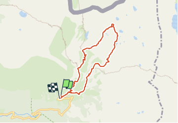

13.3 km | 20 km-effort

User


FREE GPS app for hiking
 SityTrail
IGN / Geographical institutes
SityTrail World
The world is yours!
Trail Walking of 7.6 km to be discovered at Provence-Alpes-Côte d'Azur, Maritime Alps, Saint-Martin-Vésubie. This trail is proposed by bozo1970.
Départ de la Madone
Montée par le collet du lac de Fenestre
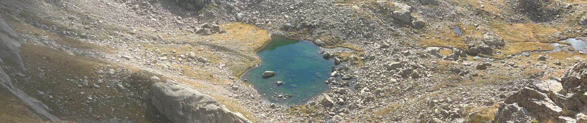
Descente dans le vallon sur le premier lac
Retour par le gras Cabret et le GR 52


Walking

On foot

Walking

Walking

Walking

On foot

On foot

On foot

Walking