


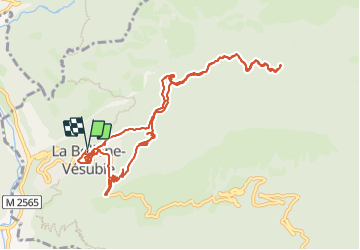

16.6 km | 33 km-effort


User


FREE GPS app for hiking
 SityTrail
IGN / Geographical institutes
SityTrail World
The world is yours!
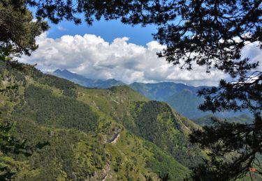
Trail Walking of 12.3 km to be discovered at Provence-Alpes-Côte d'Azur, Maritime Alps, La Bollène-Vésubie. This trail is proposed by montagne06.
A la devouverte de la chapelle st sauveur sur des jolies sentier non balisés a la bollene vesubie

Walking
Walking

On foot

On foot
Walking

Walking
Walking
Walking
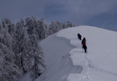
Snowshoes