


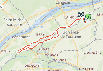

27 km | 31 km-effort


User


FREE GPS app for hiking
 SityTrail
IGN / Geographical institutes
SityTrail World
The world is yours!
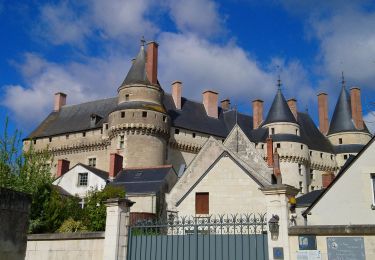
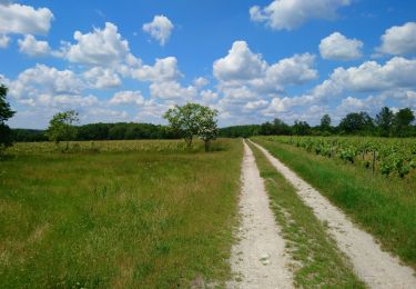
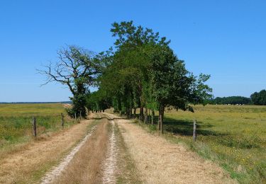
Trail Horseback riding of 16.9 km to be discovered at Centre-Loire Valley, Indre-et-Loire, Lignières-de-Touraine. This trail is proposed by roi.
Fait avec les galops de langeais. Quasi pas de route. Très sympa. A faire ferré quand même car petit cailloux. Enregistrement non mis en pause pendant l’arrêt casse croûte
Walking
Walking
Walking

Walking
Walking

Walking

Walking
Walking
Walking