Trail Walking Sasnières - Sasnières - Forêt de Prunay - Photo

Sasnières - Forêt de Prunay

 guydu41
guydu41

User

© OpenStreetMap contributors
Length
Length
10.6 km
Max alt
Max alt
155 m
Uphill gradient
Uphill gradient
131 m
Km-Effort
Km-Effort  
12.4 km
Min alt
Min alt
92 m
Downhill gradient
Downhill gradient
131 m
Boucle
Boucle
Yes
Creation date :
2023-09-10 06:09:33.709
Updated on :
2024-11-15 19:57:13.618

(0 Reviews)

Walking
Walking
2h48
Difficulty : Medium

Scan this QR Code to open this trail in the SityTrail application

FREE GPS app for hiking

Logo SityTrail SityTrail
IGN / Geographical institutes

Download SityTrail from the App Store Download SityTrail from Google Play

Logo SityTrail SityTrail World
The world is yours!

Download SityTrail from the App Store Download SityTrail from Google Play Download SityTrail on Huawei AppGallery

About

Trail Walking of 10.6 km to be discovered at Centre-Loire Valley, Loir-et-Cher, Sasnières. This trail is proposed by guydu41.

Description

Le circuit démarre depuis le parking au niveau de l’intersection de la D108 et de la D67 à Sasnières 41310.

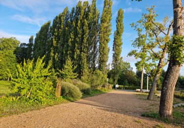
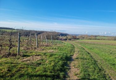
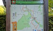
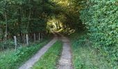
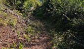
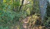
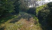
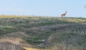
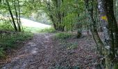
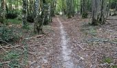
Le parcours se dirige plein sud par la D67 qu'il quitte pour emprunter une petite route communale vers la Racinière puis des chemins à travers champs et des sentiers dans la forêt de Prunay avec deux croix en bois.
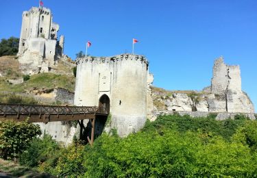
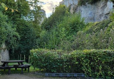
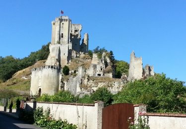
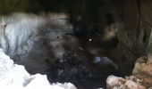
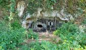
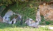
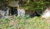
Le circuit contourne le Nord de la forêt puis longe la rivière "la Fontaine de Sasnières" en passant à côté de plusieurs caves troglodytes dont une dont on peut voir l'intérieur.
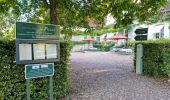
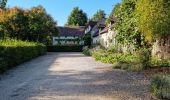
Il se termine en longeant le Jardin du Plessis et son restaurant traditionnel.

Elevation profile

Photos

30 photos in total. Please click on a photo to see them all in the gallery.

Positioning

Country:
France
Region :
Centre-Loire Valley
Department/Province :
Loir-et-Cher
Municipality :
Sasnières
Location:
Unknown
Start:(UTM)
345083 ; 5287068 (31T) N.

Trails nearby

Trail Walking Prunay-Cassereau - Prunay-Cassereau - GR655ouest Lavardin GR35 Houssay PR Sasnières - 25.8km 360m 5h40 (25mn) - 2021 11 11 - Photo
Walking
GUIDE
Orcal37

Walking

Medium
Prunay-Cassereau, Centre-Loire Valley, Loir-et-Cher, France
26 km | 31 km-effort
5h 40min
Yes
Trail Walking  - Lavardin - Vallée du Loir - 2015 08 22 - Photo
Walking
GUIDE
Orcal37

Walking

Medium
, Centre-Loire Valley, Loir-et-Cher, France
25 km | 31 km-effort
6h 0min
Yes
Trail Walking  - Lavardin - Chemin de la roue des Carriers - Photo
Walking
guydu41

Walking

Medium
, Centre-Loire Valley, Loir-et-Cher, France
12.9 km | 15.5 km-effort
3h 31min
Yes
Trail Walking Villavard - Villavard - Bois et champs - Photo
Walking
guydu41

Walking

Medium
Villavard, Centre-Loire Valley, Loir-et-Cher, France
10.5 km | 13.2 km-effort
3h 0min
Yes
Trail Walking Houssay - Houssay  - Photo
Walking
guydu41

Walking

Medium
Houssay, Centre-Loire Valley, Loir-et-Cher, France
11.5 km | 14.3 km-effort
2h 36min
Yes
Trail Walking Sasnières - Sasnières Nord - Photo
Walking
guydu41

Walking

Medium
Sasnières, Centre-Loire Valley, Loir-et-Cher, France
11.4 km | 13.7 km-effort
3h 6min
Yes
Trail Walking Houssay - Circuit Promenades et Randonnées (PR)
Walking
guydu41

Walking

Easy
Houssay, Centre-Loire Valley, Loir-et-Cher, France
12.4 km | 14.8 km-effort
2h 48min
Yes
Trail Walking  - Lavardin - 3.9km 1h00 - 2018 01 14 - Photo
Walking
GUIDE
Orcal37

Walking

Very easy
, Centre-Loire Valley, Loir-et-Cher, France
3.9 km | 4.9 km-effort
1h 0min
Yes
Trail Mountain bike Villiersfaux - Balade VTT à Villiersfaux - Photo
Mountain bike
tracegps

Mountain bike

Medium
Villiersfaux, Centre-Loire Valley, Loir-et-Cher, France
32 km | 37 km-effort
3h 0min
Yes


Close
My subscriptions