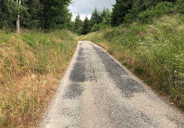
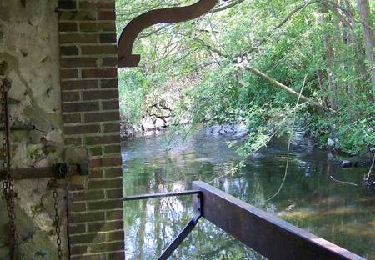
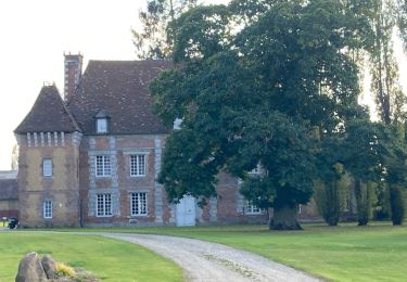
13.6 km | 15.6 km-effort
25 janvier 2015 damville
darnanville
User
Length
17.2 km
Max alt
185 m
Uphill gradient
74 m
Km-Effort
18.2 km
Min alt
170 m
Downhill gradient
73 m
Boucle
Yes
Creation date :
2015-01-24 00:00:00.0
Updated on :
2015-01-24 00:00:00.0
4h03
Difficulty : Medium
FREE GPS app for hiking
About
Trail Walking of 17.2 km to be discovered at Normandy, Eure, Marbois. This trail is proposed by darnanville.
Positioning
Country:
France
Region :
Normandy
Department/Province :
Eure
Municipality :
Marbois
Location:
Le Chesne
Start:(Dec)
Start:(UTM)
349697 ; 5417431 (31U) N.
Comments
Trails nearby
2020_02_21_Circuit de Nagel
Walking
Easy
(1)
Nagel-Séez-Mesnil,
Normandy,
Eure,
France
11 km | 12.4 km-effort
2h 20min
Yes
Circuit de La Gaudrée - Gouville
Walking
Easy
Mesnils-sur-Iton,
Normandy,
Eure,
France
8.1 km | 9.2 km-effort
2h 0min
Yes
Circuit des Bords de l'Iton - Gouville
Walking
Easy
Mesnils-sur-Iton,
Normandy,
Eure,
France
3.2 km | 3.5 km-effort
49min
Yes
Les baux de breteuil
Bicycle tourism
Very easy
Marbois,
Normandy,
Eure,
France
58 km | 64 km-effort
3h 17min
No
Gouville
Walking
Very easy
Mesnils-sur-Iton,
Normandy,
Eure,
France
4.7 km | 5.5 km-effort
1h 53min
No
2022_07_Gouville resto
Walking
Medium
Mesnils-sur-Iton,
Normandy,
Eure,
France
12.9 km | 14.1 km-effort
2h 40min
Yes
Nagel Seez Mesnil - Beaubray
Walking
Easy
Nagel-Séez-Mesnil,
Normandy,
Eure,
France
11.1 km | 12.5 km-effort
2h 56min
Yes