Trail Walking Vinadio - J4-Bernolfo - Lago Lausfer - Photo

J4-Bernolfo - Lago Lausfer

 MAD-CVW
MAD-CVW

User

© OpenStreetMap contributors
Length
Length
32 km
Max alt
Max alt
2187 m
Uphill gradient
Uphill gradient
695 m
Km-Effort
Km-Effort  
45 km
Min alt
Min alt
877 m
Downhill gradient
Downhill gradient
1591 m
Boucle
Boucle
No
Creation date :
2023-09-05 09:53:59.374
Updated on :
2023-09-06 16:33:14.178

(0 Reviews)

Walking
Walking
27h25
Difficulty : Very difficult

Scan this QR Code to open this trail in the SityTrail application

FREE GPS app for hiking

Logo SityTrail SityTrail

IGN / Geographical institutes

Download SityTrail from the App Store Download SityTrail from Google Play

Logo SityTrail SityTrail World

The world is yours!

Download SityTrail from the App Store Download SityTrail from Google Play Download SityTrail on Huawei AppGallery

About

Trail Walking of 32 km to be discovered at Piemont, Cuneo, Vinadio. This trail is proposed by MAD-CVW.

Description

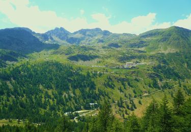
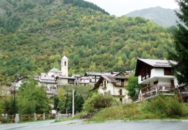
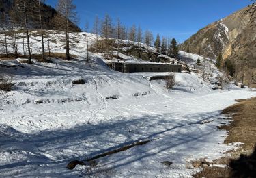
Départ au parking a l'entrée de Bernolfo en montant la piste P23 à gauche du refuge Dahu le long du torrent Corborant. Au bout du Vallon San Bernolfo, un sentier de pierre grimpe dans les alpages de vaches bordés de genévriers et évitant les longs lacets de la piste. Vue sur cascades de Barbacane.
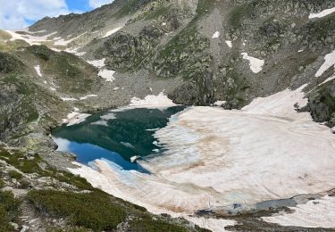
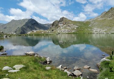
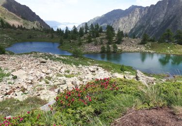
A l'intersection cote 2291, tourner à droite pour suivre le sentier P23b en contournant les rochers et en traversant les nombreux filets d'eau . Marmottes. Arrivé au vaste Lago Lausfer Inferiore à 2505m, trempette et beaux endroits pour une pause paisible. Possibilité de poursuivre le sentier pour rejoindre le Lago Lausfer Superiore à 2558m, puis passer en France (Mercantour)  par le col de Corborant à 2939m.

Elevation profile

Positioning

Country:
Italy
Region :
Piemont
Department/Province :
Cuneo
Municipality :
Vinadio
Location:
Unknown
Start:(UTM)
346023 ; 4900807 (32T) N.

Trails nearby

Trail On foot Vinadio - Tour du Lausfer - Photo
On foot
GUIDE+

On foot

Easy
Vinadio, Piemont, Cuneo, Italy
9.5 km | 16.7 km-effort
3h 47min
Yes
Trail On foot Vinadio - (SI E13) Sant'Anna di Vinadio - Vinadio Frazione Strepeis - Photo
On foot
GUIDE+

On foot

Easy
Vinadio, Piemont, Cuneo, Italy
9.1 km | 16.1 km-effort
3h 40min
No
Trail Walking Vinadio - Tour du Lausfer 25.8.24 - Photo
Walking
GUIDE
fredetpascale

Walking

Medium
Vinadio, Piemont, Cuneo, Italy
9 km | 16.2 km-effort
3h 30min
Yes
Trail sport Vinadio - Lacs de laisser - Photo
sport
GUIDE
jouans

sport

Very easy
Vinadio, Piemont, Cuneo, Italy
12.4 km | 21 km-effort
Unknown
Yes
Trail Walking Isola - Lacs du Lausfer / pas de Ste Anne - Photo
Walking
bozo1970

Walking

Easy
Isola, Provence-Alpes-Côte d'Azur, Maritime Alps, France
9.7 km | 20 km-effort
3h 9min
Yes
Trail Walking Isola - Cimes et lacs de Lausfer  - Photo
Walking
domi06

Walking

Difficult
Isola, Provence-Alpes-Côte d'Azur, Maritime Alps, France
10.8 km | 23 km-effort
6h 6min
Yes
Trail Walking Vinadio -  St Anna di Vinadio - Photo
Walking
GrouGary

Walking

Easy
Vinadio, Piemont, Cuneo, Italy
9.6 km | 16.4 km-effort
3h 30min
Yes
Trail Walking Isola - Pas de St Anne - Photo
Walking
bozo1970

Walking

Easy
Isola, Provence-Alpes-Côte d'Azur, Maritime Alps, France
5.5 km | 13.4 km-effort
2h 35min
Yes
Trail On foot Vinadio - Alte Valli - Tappa 02 - Photo
On foot
GUIDE+

On foot

Easy
Vinadio, Piemont, Cuneo, Italy
8.5 km | 18.5 km-effort
4h 12min
No


Close
My subscriptions