Trail Walking Lunay - Lunay - Photo
 guydu41
guydu41

User

© OpenStreetMap contributors
Length
Length
9.2 km
Max alt
Max alt
144 m
Uphill gradient
Uphill gradient
143 m
Km-Effort
Km-Effort  
11.1 km
Min alt
Min alt
94 m
Downhill gradient
Downhill gradient
143 m
Boucle
Boucle
Yes
Creation date :
2023-09-05 06:18:12.787
Updated on :
2024-11-15 17:10:55.302

(0 Reviews)

Walking
Walking
2h30
Difficulty : Medium

Scan this QR Code to open this trail in the SityTrail application

FREE GPS app for hiking

Logo SityTrail SityTrail

IGN / Geographical institutes

Download SityTrail from the App Store Download SityTrail from Google Play

Logo SityTrail SityTrail World

The world is yours!

Download SityTrail from the App Store Download SityTrail from Google Play Download SityTrail on Huawei AppGallery

About

Trail Walking of 9.2 km to be discovered at Centre-Loire Valley, Loir-et-Cher, Lunay. This trail is proposed by guydu41.

Description

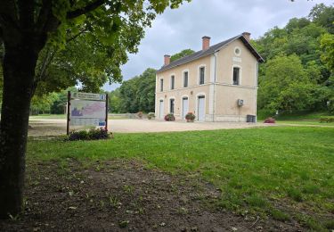
Le parcours commence depuis le parking devant l’Espace Culturel, Route des Vallées, 41360 Lunay.

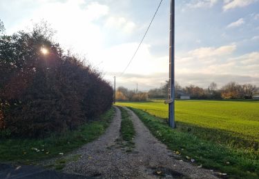
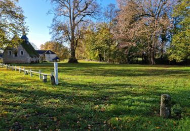
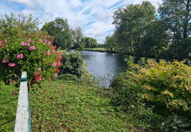
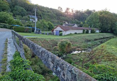
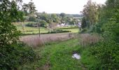
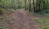
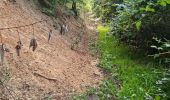
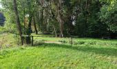
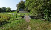
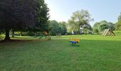
Le circuit commence par un chemin à travers un parc, monte sur le coteau, se dirige vers le hameau "la Carte" puis redescend vers l’étang de Lunay.
Il contourne l’étang, remonte sur le coteau, le longe en empruntant le sentier du "Parcours de santé" et passe à côté d'un grand Cèdre Atlas planté vers 1840 dominant la vallée.
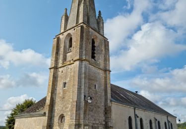
Le circuit se dirige vers le Bois Cornu, descend vers les hauts de Lunay avec de beaux points de vue sur la vallée et la ville.
Ce circuit permet d'explorer cette petite ville.

Elevation profile

Photos

41 photos in total. Please click on a photo to see them all in the gallery.

Positioning

Country:
France
Region :
Centre-Loire Valley
Department/Province :
Loir-et-Cher
Municipality :
Lunay
Location:
Unknown
Start:(UTM)
343624 ; 5297721 (31T) N.

Trails nearby

Trail Walking Thoré-la-Rochette - Thoré-la-Rochette - Vallée et Coteaux du Loir - Photo
Walking
guydu41

Walking

Medium
Thoré-la-Rochette, Centre-Loire Valley, Loir-et-Cher, France
9.2 km | 11.6 km-effort
2h 38min
Yes
Trail Walking Mazangé - Bonaventure - Moulin de la Loupe - Photo
Walking
guydu41

Walking

Medium
Mazangé, Centre-Loire Valley, Loir-et-Cher, France
8.3 km | 9.9 km-effort
2h 15min
Yes
Trail Walking Lunay - Château de la Mézière - Asnières  - Photo
Walking
guydu41

Walking

Medium
Lunay, Centre-Loire Valley, Loir-et-Cher, France
7.4 km | 8.5 km-effort
1h 56min
Yes
Trail Walking Les Roches-l'Évêque - Les Roches-l'Evêque - Photo
Walking
guydu41

Walking

Medium
Les Roches-l'Évêque, Centre-Loire Valley, Loir-et-Cher, France
8.8 km | 11.1 km-effort
2h 31min
Yes
Trail Walking Mazangé - Mazangé - Lavoir Coteaux Vallées - Photo
Walking
guydu41

Walking

Medium
Mazangé, Centre-Loire Valley, Loir-et-Cher, France
9.4 km | 11.6 km-effort
2h 38min
Yes
Trail Walking Thoré-la-Rochette - Thoré-la-Rochette - Vallée et Coteaux du Loir - Photo
Walking
guydu41

Walking

Medium
Thoré-la-Rochette, Centre-Loire Valley, Loir-et-Cher, France
9.5 km | 11.1 km-effort
2h 31min
Yes
Trail Walking Lunay - Lunay - Photo
Walking
Laurence Fontaine

Walking

Difficult
Lunay, Centre-Loire Valley, Loir-et-Cher, France
11.6 km | 13.6 km-effort
3h 28min
Yes
Trail Walking Mazangé - mazange_24nov - Photo
Walking
Laurence Fontaine

Walking

Difficult
Mazangé, Centre-Loire Valley, Loir-et-Cher, France
11.9 km | 14.1 km-effort
2h 45min
Yes
Trail Walking Mazangé - 02aLe Gué du Loir-Petit Léon - Photo
Walking
SERUS

Walking

Easy
Mazangé, Centre-Loire Valley, Loir-et-Cher, France
18.6 km | 22 km-effort
Unknown
No


Close
My subscriptions