


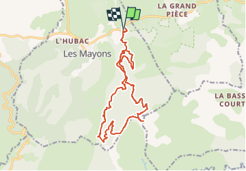


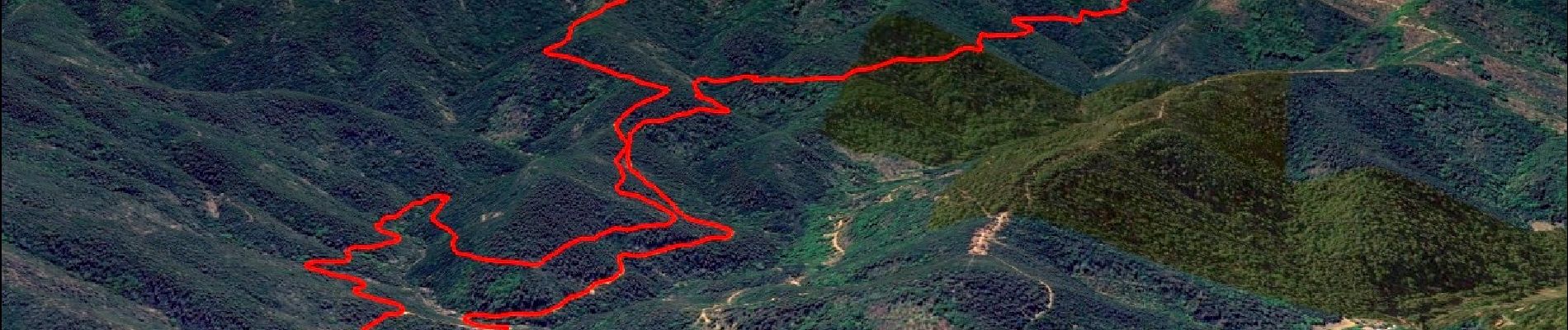
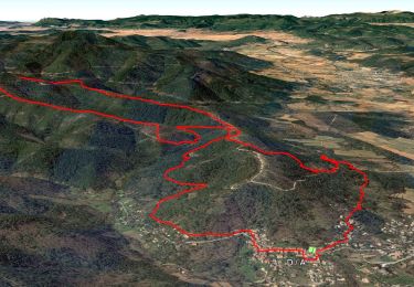
13.5 km | 21 km-effort

User GUIDE


FREE GPS app for hiking
 SityTrail
IGN / Geographical institutes
SityTrail World
The world is yours!
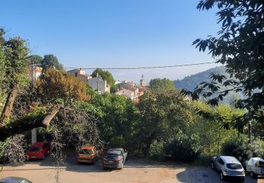
Trail Walking of 18 km to be discovered at Provence-Alpes-Côte d'Azur, Var, Les Mayons. This trail is proposed by affinetataille.
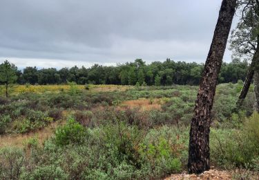
En suivant le mythique tracé du « decauville », on atteint la crête des Maures à la rencontre de panoramas grandioses : une immersion dans une nature sauvage, une expérience inoubliable en forêt profonde.


31 photos in total. Please click on a photo to see them all in the gallery.
Walking

Walking

Walking
Walking
Walking
Walking
Walking
Walking
Walking