25 km | 30 km-effort
boucle dans le Comminges
martoche
User
Length
68 km
Max alt
640 m
Uphill gradient
859 m
Km-Effort
80 km
Min alt
383 m
Downhill gradient
857 m
Boucle
No
Creation date :
2023-09-04 11:08:51.951
Updated on :
2023-09-04 15:08:37.549
3h58
Difficulty : Medium
FREE GPS app for hiking
About
Trail Road bike of 68 km to be discovered at Occitania, Haute-Garonne, Villeneuve-de-Rivière. This trail is proposed by martoche.
Description
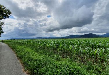
beau parcours entre labarthe de neste, col de maouzau, hautaget.
Positioning
Country:
France
Region :
Occitania
Department/Province :
Haute-Garonne
Municipality :
Villeneuve-de-Rivière
Location:
Unknown
Start:(Dec)
Start:(UTM)
309708 ; 4777452 (31T) N.
Comments
Trails nearby
Camon
Walking
Easy
Labarthe-Rivière,
Occitania,
Haute-Garonne,
France
7.5 km | 8 km-effort
1h 40min
Yes
bout du puy
Walking
Easy
Valentine,
Occitania,
Haute-Garonne,
France
4.3 km | 6.8 km-effort
1h 7min
Yes
bout du puy
Walking
Easy
Valentine,
Occitania,
Haute-Garonne,
France
4.3 km | 6.8 km-effort
1h 7min
Yes
boucle au départ de Villeneuve de riviere
Road bike
Medium
Villeneuve-de-Rivière,
Occitania,
Haute-Garonne,
France
61 km | 71 km-effort
3h 55min
Yes
boucle forêt de Cardeilhac
Walking
Easy
Le Cuing,
Occitania,
Haute-Garonne,
France
10.3 km | 12.1 km-effort
3h 37min
Yes
boucle commingeoise
Road bike
Medium
Villeneuve-de-Rivière,
Occitania,
Haute-Garonne,
France
61 km | 71 km-effort
3h 9min
Yes
2021-10-31_09h01m59_Cirkwi-Bordes_de_Rivière_Plaine__Les_canaux_d_irrigation_
sport
Very easy
Bordes-de-Rivière,
Occitania,
Haute-Garonne,
France
3.6 km | 3.9 km-effort
Unknown
Yes
2017-07-29 bout du puy -fontaine valentine
Other activity
Very easy
Valentine,
Occitania,
Haute-Garonne,
France
3.6 km | 5.6 km-effort
2h 13min
Yes