


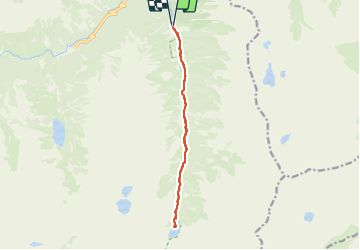


11.4 km | 17.5 km-effort

User


FREE GPS app for hiking
 SityTrail
IGN / Geographical institutes
SityTrail World
The world is yours!
Trail Walking of 13.9 km to be discovered at Occitania, Hautespyrenees, Cauterets. This trail is proposed by Mich&Agnès.
Randonnée le long du gave. Première partie tranquille, puis la montée régulière commence sur un chemin caillouteux qui peut être glissant par temps humide ;)
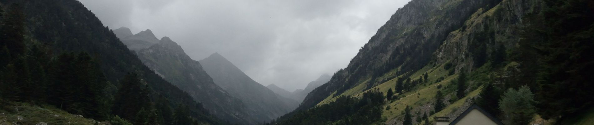
On ne se lasse pas de l'alternance des chutes d'eau et des "prairies" humides et magnifiques de quiétudes.


23 photos in total. Please click on a photo to see them all in the gallery.

Walking

Walking

Walking

Walking

Walking

Walking

Walking

Walking

Walking