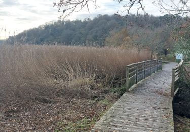
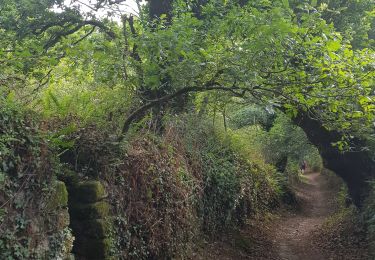
14.7 km | 17.9 km-effort
Quéven 2023
nicoleroy
User
Length
49 km
Max alt
69 m
Uphill gradient
771 m
Km-Effort
59 km
Min alt
5 m
Downhill gradient
770 m
Boucle
Yes
Creation date :
2023-09-03 06:30:52.66
Updated on :
2023-09-03 10:19:35.836
3h48
Difficulty : Very difficult
FREE GPS app for hiking
About
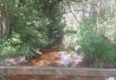
Trail Mountain bike of 49 km to be discovered at Brittany, Morbihan, Quéven. This trail is proposed by nicoleroy.
Positioning
Country:
France
Region :
Brittany
Department/Province :
Morbihan
Municipality :
Quéven
Location:
Unknown
Start:(Dec)
Start:(UTM)
468291 ; 5293099 (30T) N.
Comments
Trails nearby
PR_56_Guidel_DA_04_Circuit3a_De-Guidel-Centre-Vers-La-Laita_20240510
Walking
Easy
Guidel,
Brittany,
Morbihan,
France
4h 3min
Yes
PR_56_Pont-Scorff_AA_01_Circuit1b_De-St-Urchaud_20231125
Walking
Difficult
Pont-Scorff,
Brittany,
Morbihan,
France
13.5 km | 16.2 km-effort
3h 41min
Yes
PR_56_Queven_AA_01_Circuit4b_Du-Scorff-Et-Du-Golf_20190825
Walking
Easy
Quéven,
Brittany,
Morbihan,
France
16 km | 18.9 km-effort
4h 22min
Yes
le scorff 5 mai 2022 club amitié
Walking
Very difficult
Pont-Scorff,
Brittany,
Morbihan,
France
20 km | 25 km-effort
4h 42min
Yes
Kerfuchan · Étang Lannenec - Keroch - par voie verte
Mountain bike
Medium
Lorient,
Brittany,
Morbihan,
France
34 km | 38 km-effort
1h 50min
No
36 - Guidel / Lomener
Cycle
Easy
Guidel,
Brittany,
Morbihan,
France
15.5 km | 17.3 km-effort
1h 1min
No
tour du golf quéven
Walking
Easy
Quéven,
Brittany,
Morbihan,
France
5.6 km | 6.8 km-effort
1h 10min
Yes