


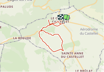

14.8 km | 19.6 km-effort


User


FREE GPS app for hiking
 SityTrail
IGN / Geographical institutes
SityTrail World
The world is yours!
Trail Mountain bike of 14.5 km to be discovered at Provence-Alpes-Côte d'Azur, Var, Le Castellet. This trail is proposed by Patrick Libert.
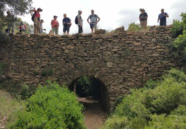
Truc de fou avec Bernard collines ds le Var du Castellet

Walking

Walking

Walking

Walking

Walking

Walking

Walking

Walking
Walking