Trail Road bike Vallières-sur-Fier - 41-787 Cessens Massingy - Photo
© OpenStreetMap contributors
Length
Length
41 km
Max alt
Max alt
641 m
Uphill gradient
Uphill gradient
787 m
Km-Effort
Km-Effort  
51 km
Min alt
Min alt
303 m
Downhill gradient
Downhill gradient
781 m
Boucle
Boucle
Yes
Creation date :
2023-09-02 18:51:12.044
Updated on :
2023-09-02 19:27:19.075

(0 Reviews)

Road bike
Road bike
3h06
Difficulty : Very difficult
Electric bike
Electric bike
3h00
Difficulty : Difficult

Scan this QR Code to open this trail in the SityTrail application

FREE GPS app for hiking

Logo SityTrail SityTrail

IGN / Geographical institutes

Download SityTrail from the App Store Download SityTrail from Google Play

Logo SityTrail SityTrail World

The world is yours!

Download SityTrail from the App Store Download SityTrail from Google Play Download SityTrail on Huawei AppGallery

About

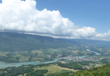
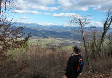
Trail Road bike of 41 km to be discovered at Auvergne-Rhône-Alpes, Upper Savoy, Vallières-sur-Fier. This trail is proposed by Ladyclairdelune74.

Description

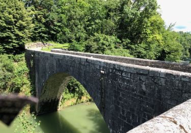
Sapenay depuis Vallières en passant par Lornay et Pont Coppet

Elevation profile

Positioning

Country:
France
Region :
Auvergne-Rhône-Alpes
Department/Province :
Upper Savoy
Municipality :
Vallières-sur-Fier
Location:
Vallières
Start:(Dec)
Start:(UTM)
728580 ; 5086944 (31T) N.

Trails nearby

Trail Walking Vallières-sur-Fier - VAL_DE_FIER_BALCONS - Photo
Walking
GUIDE
HERRY

Walking

Very easy
(1)
Vallières-sur-Fier, Auvergne-Rhône-Alpes, Upper Savoy, France
8.4 km | 15.1 km-effort
2h 49min
Yes
Trail Walking Lornay - LE GROS FOUG: LORNAY - Photo
Walking
djeepee74

Walking

Medium
(1)
Lornay, Auvergne-Rhône-Alpes, Upper Savoy, France
9.1 km | 15.7 km-effort
3h 0min
Yes
Trail Mountain bike Marcellaz-Albanais - Site VTT FFC de l'Albanais - Circuit N°4 Bois aux Loups - Marcellaz-Albanais - Photo
Mountain bike
tracegps

Mountain bike

Medium
(2)
Marcellaz-Albanais, Auvergne-Rhône-Alpes, Upper Savoy, France
13.4 km | 17.6 km-effort
1h 30min
Yes
Trail Walking Sales - Pont Coppet - Photo
Walking
GUIDE
HERRY

Walking

Sales, Auvergne-Rhône-Alpes, Upper Savoy, France
8.6 km | 10.2 km-effort
1h 53min
Yes
Trail Mountain bike Moye - 74- Le Gros Foug - Photo
Mountain bike
cavpsy74

Mountain bike

Difficult
(1)
Moye, Auvergne-Rhône-Alpes, Upper Savoy, France
21 km | 35 km-effort
4h 0min
Yes
Trail Walking Vaulx - Autour de la commune de Vaulx 74150  - Photo
Walking
GuyCharvier

Walking

Easy
Vaulx, Auvergne-Rhône-Alpes, Upper Savoy, France
14.4 km | 19.6 km-effort
3h 49min
Yes
Trail Walking Vaulx - VAULX - Photo
Walking
GUIDE
HERRY

Walking

Easy
Vaulx, Auvergne-Rhône-Alpes, Upper Savoy, France
8.8 km | 12.5 km-effort
2h 12min
Yes
Trail Walking Lornay - TOUR_DE_LORNAY - Photo
Walking
GUIDE
HERRY

Walking

Very easy
Lornay, Auvergne-Rhône-Alpes, Upper Savoy, France
5.5 km | 8.6 km-effort
1h 57min
Yes
Trail Nordic walking Vallières-sur-Fier - Val de Fier - Croix saint-André - Photo
Nordic walking
woody85

Nordic walking

Difficult
Vallières-sur-Fier, Auvergne-Rhône-Alpes, Upper Savoy, France
5.6 km | 10.4 km-effort
1h 21min
Yes


Close
My subscriptions