


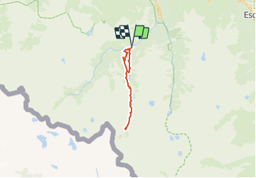


11.4 km | 17.5 km-effort

User


FREE GPS app for hiking
 SityTrail
IGN / Geographical institutes
SityTrail World
The world is yours!
Trail Walking of 18.7 km to be discovered at Occitania, Hautespyrenees, Cauterets. This trail is proposed by Mich&Agnès.
Une belle randonnée qui se mérite.
A faire dans le sens normal pour profiter des cascades.
On peut s'arrêter quand on veut et faire demi tour.
La descente pas les pistes n'amène rien qu'un coupe pattes, sauf la cascade près du restaurant.


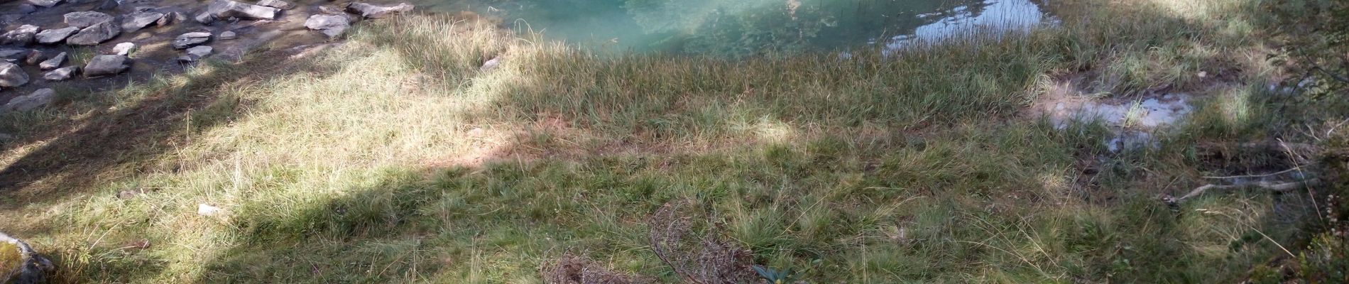
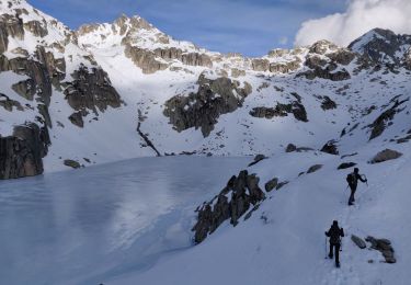
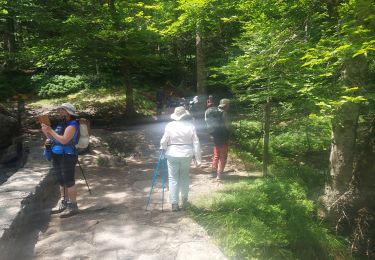
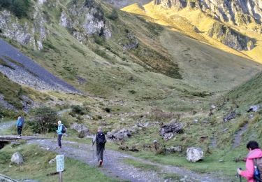
31 photos in total. Please click on a photo to see them all in the gallery.

Walking

Walking

Walking
Walking

Walking

Walking

Walking
Walking
Walking