![Trail Walking Le Mage - [Itinéraire] Le Buisson - Photo](https://media.geolcdn.com/t/1900/400/ext.pjpeg?maxdim=2&url=https%3A%2F%2Fstatic1.geolcdn.com%2Fsiteimages%2Fupload%2Ffiles%2F1553511878bg_sport_marche.png)
[Itinéraire] Le Buisson

ODDAD78
User


3h34
Difficulty : Difficult
1h05
Difficulty : Easy
--
Difficulty : Easy
0m
Difficulty : Very easy

FREE GPS app for hiking
About
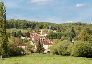
Trail Walking of 13 km to be discovered at Normandy, Orne, Le Mage. This trail is proposed by ODDAD78.
Description
Départ : Le Mage Arrivée : Le Mage Balisage : PR Communes : 1. Le Mage 2. Bizou
3. Moutiers-au-Perche
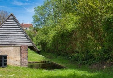
Quitter le parking en se dirigeant vers le centre-bourg. Après l'église, prendre tout de suite à gauche : descendre et suivre le chemin qui mène au lavoir. Au lavoir, poursuivre tout droit jusquà rejoindre la départementale, que l'on emprunte plusieurs mètres.
1. Tourner à gauche et suivre cette toute petite route : prendre la 1ère à droite et poursuivre jusqu'à tourner à droite à nouveau (cela monte une peu) pour rejoindre la route.
2. A la départementale, prendre à gauche et la suivre (rester prudent). Laisser Les Haies Quartier sur droite, puis plus loin, tourner à gauche. Passer par le hameau du Mesnil Pot et poursuivre tout droit.
3. Dans les bois bifurquer à droite et suivre le chemin jusqu'à rejoindre une route.
4. Puis prendre à gauche (on récupère ici un autre circuit : les sables du Perche, au départ de Bizou),
jusqu'à rejoindre un champs : tourner à gauche et poursuivre tout droit jusqu'à longer à nouveau un
bois par la droite (le circuit des sables du Perche, lui, aura été laissé avant).
5. Prendre à droite et poursuivre dans la forêt : superbe chemins de trognes !)
6. Traverser la route et prendre presque en face, sur gauche, le chemin qui se poursuit et rejoindre le
lieu-dit "L'Allemandière". Poursuivre tout droit jusqu'à la route. A la route, tourner à gauche, puis poursuivre à gauche. Passer l'Auberdière (sur droite), puis Les Chaintres (sur gauches) et au bout de la route, prendre à droite. Poursuivre tout droit jusqu'au Pont Riboult.
7. Laisser un autre circuit de randonnée partir sur gauche (circuit du nom du lieu-dit, le Pont Riboult) et poursuivre à droite jusqu'à rejoindre le parking.
(Pas à pas : Rando-Perche)
Positioning
Comments
Trails nearby
![Trail Walking Longny les Villages - [Itinéraire] La Brisardière - Photo](https://media.geolcdn.com/t/375/260/19108d03-3d8a-43b4-b05b-172408edde68.jpeg&format=jpg&maxdim=2)
Walking

![Trail Walking Bizou - [Itinéraire] Les sables du Perche - Photo](https://media.geolcdn.com/t/375/260/6b586e88-fad3-40df-be07-9b2a61186b9b.jpeg&format=jpg&maxdim=2)
Walking


Walking


On foot


Walking


Walking


Walking


Walking


 SityTrail


