


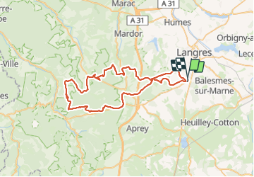

23 km | 28 km-effort


User


FREE GPS app for hiking
 SityTrail
IGN / Geographical institutes
SityTrail World
The world is yours!
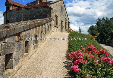
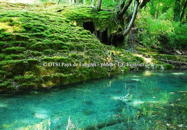
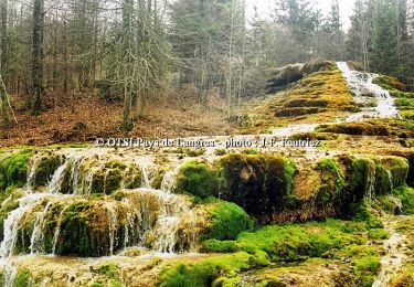
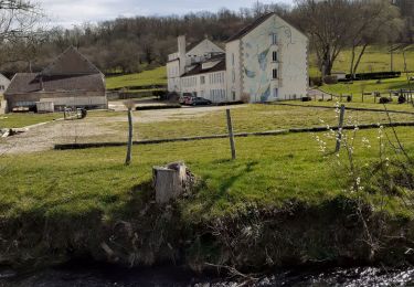
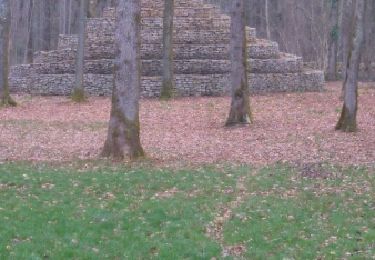
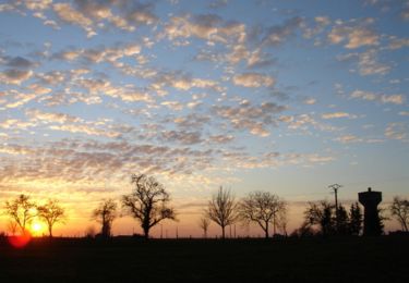
Trail Electric bike of 60 km to be discovered at Grand Est, Haute-Marne, Saints-Geosmes. This trail is proposed by lionel.marcoux.
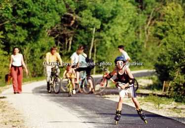
Cycle
Walking
Walking
Cycle
Cycle
Cycle
Nordic walking
Walking
Mountain bike