26 km | 33 km-effort
Resteigne
BrigitteBertrand
User
Length
14.1 km
Max alt
397 m
Uphill gradient
390 m
Km-Effort
19.3 km
Min alt
180 m
Downhill gradient
390 m
Boucle
Yes
Creation date :
2023-08-29 07:05:04.0
Updated on :
2023-08-29 10:40:17.421
3h34
Difficulty : Very difficult
FREE GPS app for hiking
About
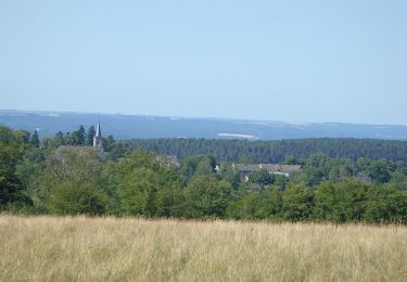
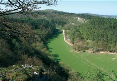
Trail Walking of 14.1 km to be discovered at Wallonia, Luxembourg, Tellin. This trail is proposed by BrigitteBertrand.
Description
La forêt , les hauts
Positioning
Country:
Belgium
Region :
Wallonia
Department/Province :
Luxembourg
Municipality :
Tellin
Location:
Unknown
Start:(Dec)
Start:(UTM)
655642 ; 5550944 (31U) N.
Comments
Trails nearby
Nature - The view from the Belvédère in Han-sur-Lesse
Walking
Difficult
(16)
Rochefort,
Wallonia,
Namur,
Belgium
4.8 km | 6.3 km-effort
1h 20min
Yes
Tellin. Natura 2000, des sites qui valent le détour ! Lx 7
Walking
Medium
(7)
Tellin,
Wallonia,
Luxembourg,
Belgium
9.6 km | 11.9 km-effort
1h 30min
Yes
Wellin - Wéry_Variante (WE 06)
Walking
Difficult
(5)
Wellin,
Wallonia,
Luxembourg,
Belgium
11.4 km | 15.5 km-effort
3h 30min
Yes
RB-Na-07 Raccourci - Ronde au pays des grottes
Walking
Easy
(9)
Rochefort,
Wallonia,
Namur,
Belgium
18.4 km | 24 km-effort
4h 59min
Yes
Nature : Belvaux -Les Rouges-Gorges (the robins)
Walking
Easy
(8)
Rochefort,
Wallonia,
Namur,
Belgium
6.5 km | 8.4 km-effort
1h 20min
Yes
Nature : Belvaux -Les Rouges-Gorges (the robins)
Walking
Easy
(13)
Rochefort,
Wallonia,
Namur,
Belgium
5.8 km | 7.6 km-effort
1h 20min
Yes
Nature - A discovery trail through Han-sur-Lesse
Walking
Very easy
(15)
Rochefort,
Wallonia,
Namur,
Belgium
4.8 km | 5.8 km-effort
1h 15min
Yes
Balade à Resteigne
Walking
Easy
(1)
Tellin,
Wallonia,
Luxembourg,
Belgium
12.6 km | 16.2 km-effort
3h 32min
Yes