Trail  Saint-Marcel-lès-Annonay - randonnee-27900888-de-la-vallee-de-la-deome-a-burdignes - Photo

randonnee-27900888-de-la-vallee-de-la-deome-a-burdignes

© OpenStreetMap contributors
Length
Length
12.4 km
Max alt
Max alt
932 m
Uphill gradient
Uphill gradient
495 m
Km-Effort
Km-Effort  
19 km
Min alt
Min alt
482 m
Downhill gradient
Downhill gradient
497 m
Boucle
Boucle
Yes
Creation date :
2023-08-29 09:18:44.903
Updated on :
2023-08-29 09:18:44.903

(1 Reviews)


Scan this QR Code to open this trail in the SityTrail application

FREE GPS app for hiking

Logo SityTrail SityTrail

IGN / Geographical institutes

Download SityTrail from the App Store Download SityTrail from Google Play

Logo SityTrail SityTrail World

The world is yours!

Download SityTrail from the App Store Download SityTrail from Google Play Download SityTrail on Huawei AppGallery

About

Trail of 12.4 km to be discovered at Auvergne-Rhône-Alpes, Ardèche, Saint-Marcel-lès-Annonay. This trail is proposed by jeanpaul07.

Elevation profile

Points of interest

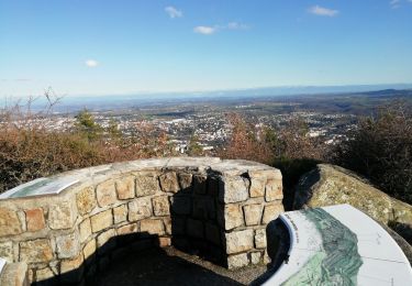
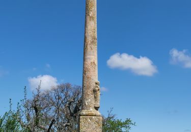
Point of interest Saint-Marcel-lès-Annonay - Espace près de la - Photo
jeanpaul07
SAINT-MARCEL-LÈS-ANNONAY 
Point of interest Burdignes - Tunnel des Chirattes - Photo
jeanpaul07
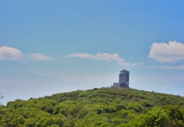
Point of interest Burdignes - Pylône de Tête Noire - Photo
jeanpaul07
Point of interest Burdignes - Forêt des Louaves - Photo
jeanpaul07
Point of interest Burdignes - Burdignes - Photo
jeanpaul07
BURDIGNES 
Point of interest Burdignes - Doivieux - Photo
jeanpaul07
BURDIGNES 
Point of interest Burdignes - Rachassieux - Photo
jeanpaul07
BURDIGNES 
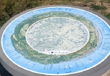
Point of interest Saint-Marcel-lès-Annonay - Espace près de la - Photo
jeanpaul07
SAINT-MARCEL-LÈS-ANNONAY 

Positioning

Country:
France
Region :
Auvergne-Rhône-Alpes
Department/Province :
Ardèche
Municipality :
Saint-Marcel-lès-Annonay
Location:
Unknown
Start:(UTM)
625491 ; 5016285 (31T) N.

Comments

Please log in to post a review or rate the element


Trails nearby

Trail Walking Annonay - 07 Chatinay Montmiandon 3km 130m - Photo
Walking
SyMA

Walking

Very easy
(2)
Annonay, Auvergne-Rhône-Alpes, Ardèche, France
3 km | 4.8 km-effort
55min
Yes
Trail Mountain bike Bourg-Argental - Pilat par la face sud - Photo
Mountain bike
tracegps

Mountain bike

Difficult
(1)
Bourg-Argental, Auvergne-Rhône-Alpes, Loire, France
34 km | 50 km-effort
4h 30min
Yes
Trail On foot Bourg-Argental - Pilat Nº2: Bourg-Argental - Le Grand Bois - Photo
On foot
GUIDE+

On foot

Difficult
Bourg-Argental, Auvergne-Rhône-Alpes, Loire, France
22 km | 33 km-effort
7h 30min
Yes
Trail Walking Savas - 07 Lac du ternay / croix des Blaches 8km 230M - Photo
Walking
SyMA

Walking

Very easy
(1)
Savas, Auvergne-Rhône-Alpes, Ardèche, France
8 km | 11 km-effort
2h 20min
Yes
Trail Walking Bourg-Argental - Bourg Argental 2013 - Photo
Walking
tracegps

Walking

Medium
Bourg-Argental, Auvergne-Rhône-Alpes, Loire, France
22 km | 34 km-effort
6h 30min
Yes
Trail Walking Saint-Julien-Molin-Molette - 09 mai 2024 Saint julien Molin molette  - Photo
Walking
Parodie69

Walking

Very difficult
Saint-Julien-Molin-Molette, Auvergne-Rhône-Alpes, Loire, France
22 km | 34 km-effort
7h 1min
Yes
Trail Other activity Burdignes - croix de Chirol - Photo
Other activity
bpc

Other activity

Very easy
Burdignes, Auvergne-Rhône-Alpes, Loire, France
18.4 km | 27 km-effort
4h 55min
Yes
Trail Walking Annonay - 07 chatinais annonay - Photo
Walking
GUIDE
randodyssée

Walking

Medium
Annonay, Auvergne-Rhône-Alpes, Ardèche, France
26 km | 40 km-effort
7h 10min
No
Trail Walking Burdignes - croix de chirol - Photo
Walking
bpc

Walking

Medium
Burdignes, Auvergne-Rhône-Alpes, Loire, France
18.4 km | 27 km-effort
5h 38min
Yes


Close
My subscriptions