Trail Walking Thoré-la-Rochette - Thoré-la-Rochette - Vallée et Coteaux du Loir - Photo

Thoré-la-Rochette - Vallée et Coteaux du Loir

 guydu41
guydu41

User

© OpenStreetMap contributors
Length
Length
9.5 km
Max alt
Max alt
139 m
Uphill gradient
Uphill gradient
121 m
Km-Effort
Km-Effort  
11.1 km
Min alt
Min alt
74 m
Downhill gradient
Downhill gradient
121 m
Boucle
Boucle
Yes
Creation date :
2023-08-29 06:34:25.634
Updated on :
2024-11-15 14:53:35.509

(0 Reviews)

Walking
Walking
2h31
Difficulty : Medium

Scan this QR Code to open this trail in the SityTrail application

FREE GPS app for hiking

Logo SityTrail SityTrail

IGN / Geographical institutes

Download SityTrail from the App Store Download SityTrail from Google Play

Logo SityTrail SityTrail World

The world is yours!

Download SityTrail from the App Store Download SityTrail from Google Play Download SityTrail on Huawei AppGallery

About

Trail Walking of 9.5 km to be discovered at Centre-Loire Valley, Loir-et-Cher, Thoré-la-Rochette. This trail is proposed by guydu41.

Description

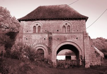
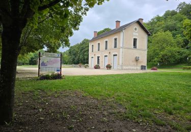
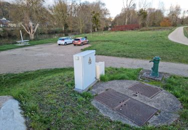
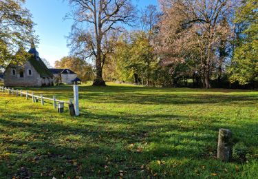
Le parcours commence depuis le parking à côté de l’Église Saint-Denis, 10 Place de l'Église, 41100 Thoré-la-Rochette avec un beau point de vue sur la ville.

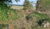
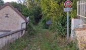
Après avoir descendu la voie pentue vers la Rue de la Brisse, le circuit passe au-dessus de la Brisse, emprunte la Rue de la Basnerie puis un chemin boisé qui monte sur le tertre de Fanchon pour déboucher sur la D82 et franchir la voie ferrée profondément encaissée dans le plateau calcaire.
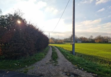
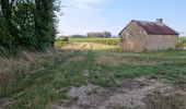
Ensuite le circuit chemine à travers vignes et champs pour passer à côté du dolmen déstructuré de Vaugouffard puis remonter vers le haut du coteau qui longe le Loir avec passage à côté d’un énorme bloc de grès isolé.
Plusieurs points de vue le long du parcours.
Note : Le passage au lieu-dit "les Morines" n'est pas évident.

Elevation profile

Photos

23 photos in total. Please click on a photo to see them all in the gallery.

Positioning

Country:
France
Region :
Centre-Loire Valley
Department/Province :
Loir-et-Cher
Municipality :
Thoré-la-Rochette
Location:
Unknown
Start:(UTM)
347530 ; 5294751 (31T) N.

Trails nearby

Trail On foot Villiers-sur-Loir - Circuit des Côteaux - Photo
On foot
GUIDE+

On foot

Easy
Villiers-sur-Loir, Centre-Loire Valley, Loir-et-Cher, France
9.4 km | 11 km-effort
2h 29min
Yes
Trail Walking Villavard - Villavard - Bois et champs - Photo
Walking
guydu41

Walking

Medium
Villavard, Centre-Loire Valley, Loir-et-Cher, France
10.5 km | 13.2 km-effort
3h 0min
Yes
Trail Walking Thoré-la-Rochette - Thoré-la-Rochette - Vallée et Coteaux du Loir - Photo
Walking
guydu41

Walking

Medium
Thoré-la-Rochette, Centre-Loire Valley, Loir-et-Cher, France
9.2 km | 11.6 km-effort
2h 38min
Yes
Trail Walking Marcilly-en-Beauce - Varennes - Photo
Walking
guydu41

Walking

Easy
Marcilly-en-Beauce, Centre-Loire Valley, Loir-et-Cher, France
7.9 km | 9.1 km-effort
2h 3min
Yes
Trail Walking Naveil - Naveil - Photo
Walking
guydu41

Walking

Easy
Naveil, Centre-Loire Valley, Loir-et-Cher, France
9.8 km | 11.3 km-effort
2h 33min
Yes
Trail Walking Mazangé - Bonaventure - Moulin de la Loupe - Photo
Walking
guydu41

Walking

Medium
Mazangé, Centre-Loire Valley, Loir-et-Cher, France
8.3 km | 9.9 km-effort
2h 15min
Yes
Trail Walking Lunay - Château de la Mézière - Asnières  - Photo
Walking
guydu41

Walking

Medium
Lunay, Centre-Loire Valley, Loir-et-Cher, France
7.4 km | 8.5 km-effort
1h 56min
Yes
Trail Walking Saint-Rimay - Saint-Rimay - Photo
Walking
guydu41

Walking

Medium
Saint-Rimay, Centre-Loire Valley, Loir-et-Cher, France
11.3 km | 14.2 km-effort
3h 14min
Yes
Trail Walking Houssay - Houssay  - Photo
Walking
guydu41

Walking

Medium
Houssay, Centre-Loire Valley, Loir-et-Cher, France
11.5 km | 14.3 km-effort
2h 36min
Yes


Close
My subscriptions