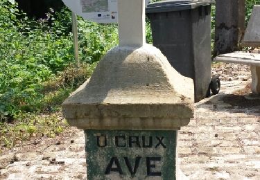
7.4 km | 9.6 km-effort
LEXY - 28-08-23
patdecosnes
User
Length
9.3 km
Max alt
356 m
Uphill gradient
196 m
Km-Effort
11.9 km
Min alt
231 m
Downhill gradient
195 m
Boucle
Yes
Creation date :
2023-08-28 11:48:37.0
Updated on :
2023-08-28 17:50:12.088
2h32
Difficulty : Medium
FREE GPS app for hiking
About
Trail Walking of 9.3 km to be discovered at Grand Est, Meurthe-et-Moselle, Lexy. This trail is proposed by patdecosnes.
Positioning
Country:
France
Region :
Grand Est
Department/Province :
Meurthe-et-Moselle
Municipality :
Lexy
Location:
Unknown
Start:(Dec)
Start:(UTM)
697428 ; 5486831 (31U) N.
Comments
Trails nearby
Chemin des Minières
Walking
Medium
Saint-Pancré,
Grand Est,
Meurthe-et-Moselle,
France
8.1 km | 9.7 km-effort
2h 15min
Yes
vauban - longwy-haut ... booooooh
Walking
Very easy
Longwy,
Grand Est,
Meurthe-et-Moselle,
France
2.4 km | 2.8 km-effort
58min
Yes
longwy ? long nooooon !
Walking
Very easy
Longwy,
Grand Est,
Meurthe-et-Moselle,
France
869 m | 992 m-effort
16min
Yes
Balade 2
Walking
Easy
Ville-Houdlémont,
Grand Est,
Meurthe-et-Moselle,
France
558 m | 728 m-effort
27min
No
Longwy 19 km
Walking
Easy
Longwy,
Grand Est,
Meurthe-et-Moselle,
France
19.3 km | 25 km-effort
5h 46min
No
Mexy
Walking
Medium
Mexy,
Grand Est,
Meurthe-et-Moselle,
France
12.3 km | 15.4 km-effort
2h 34min
Yes
la boucle des villages frontaliers
Walking
Medium
Cosnes-et-Romain,
Grand Est,
Meurthe-et-Moselle,
France
26 km | 32 km-effort
7h 4min
Yes
ugny 23.05.2024
On foot
Easy
Cons-la-Grandville,
Grand Est,
Meurthe-et-Moselle,
France
7.3 km | 9.2 km-effort
2h 4min
Yes