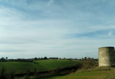
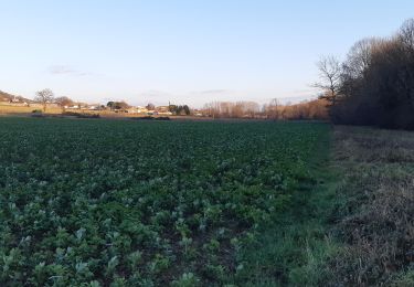
8.9 km | 11 km-effort
track
CANON2
User
Length
6.4 km
Max alt
272 m
Uphill gradient
142 m
Km-Effort
8.3 km
Min alt
187 m
Downhill gradient
149 m
Boucle
No
Creation date :
2023-08-28 14:31:16.441
Updated on :
2023-08-28 14:38:48.406
1h53
Difficulty : Easy
FREE GPS app for hiking
About
Trail On foot of 6.4 km to be discovered at Occitania, Tarn, Cuq-Toulza. This trail is proposed by CANON2.
Positioning
Country:
France
Region :
Occitania
Department/Province :
Tarn
Municipality :
Cuq-Toulza
Location:
Unknown
Start:(Dec)
Start:(UTM)
409840 ; 4824610 (31T) N.
Comments
Trails nearby
Lac de Cambon
Walking
Easy
Cambon-lès-Lavaur,
Occitania,
Tarn,
France
7.1 km | 9.2 km-effort
1h 46min
Yes
16 février 2021
Walking
Very easy
Auriac-sur-Vendinelle,
Occitania,
Haute-Garonne,
France
10.8 km | 13 km-effort
2h 50min
Yes
tour du lac du Causse
Walking
Very easy
Cuq-Toulza,
Occitania,
Tarn,
France
4.5 km | 5.4 km-effort
1h 26min
Yes
SityTrail - Aguts boucle du calvaire à Montgey
Walking
Medium
Aguts,
Occitania,
Tarn,
France
8.9 km | 11 km-effort
2h 29min
Yes
Boucle l'endaydé en Nauzel Estebejon
Walking
Easy
Cuq-Toulza,
Occitania,
Tarn,
France
6.6 km | 8.7 km-effort
2h 23min
Yes
aller retour l'endaydé Mouzens
Walking
Very easy
Cuq-Toulza,
Occitania,
Tarn,
France
10.4 km | 11.6 km-effort
2h 23min
Yes
boucle du bois de Fontalou
Walking
Easy
Cuq-Toulza,
Occitania,
Tarn,
France
8.3 km | 10.1 km-effort
2h 30min
Yes