


12.2 km | 18.4 km-effort


User


FREE GPS app for hiking
 SityTrail
IGN / Geographical institutes
SityTrail World
The world is yours!
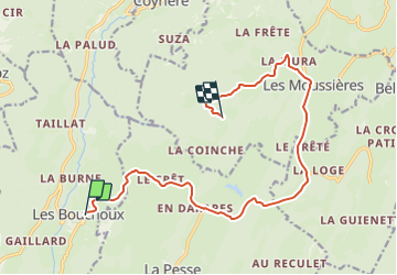
Trail Car of 14.3 km to be discovered at Bourgogne-Franche-Comté, Jura, Les Bouchoux. This trail is proposed by MIKARANDO.
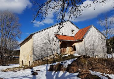
Trajet en voiture vers Les Monderans (Didier TONIN) depuis Les Bouchoux.
Coordonnées GPS des Monderans :
Latitude : 46,31795 ; Longitude : 5,86300
Le chemin final non goudroné n'est ni sur Wase ne sur Maps.
Walking

Walking
Walking
Snowshoes
Walking
Walking
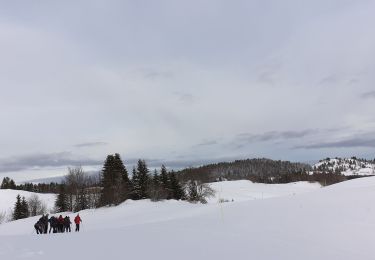
Snowshoes
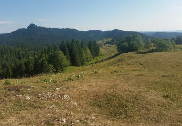
Walking
Walking