


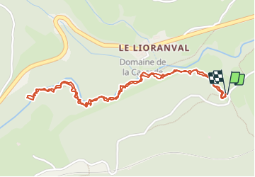

9 km | 12.6 km-effort

User


FREE GPS app for hiking
 SityTrail
IGN / Geographical institutes
SityTrail World
The world is yours!
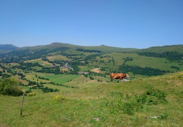
Trail Walking of 2.9 km to be discovered at Auvergne-Rhône-Alpes, Cantal, Laveissière. This trail is proposed by alainjoseph6.
une balade en aller retour dans les gorges de l'alagnon.
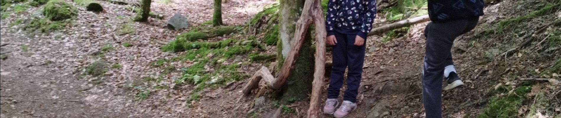
A faire avec les enfants qui pourront découvrir les animaux et les personnages tout le long du parcours.


Walking

Walking

Walking

Walking

Walking

Walking

Walking

Walking

Walking