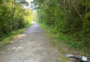
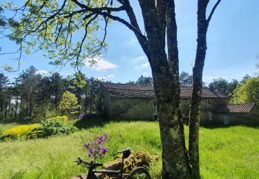
9.1 km | 13.9 km-effort
col de la pale rayouse bozouls
occide
User
Length
11.4 km
Max alt
625 m
Uphill gradient
293 m
Km-Effort
15.3 km
Min alt
413 m
Downhill gradient
299 m
Boucle
Yes
Creation date :
2023-08-25 07:09:46.939
Updated on :
2023-08-25 17:11:04.974
2h57
Difficulty : Difficult
FREE GPS app for hiking
About
Trail Walking of 11.4 km to be discovered at Occitania, Aveyron, Saint-Affrique. This trail is proposed by occide.
Positioning
Country:
France
Region :
Occitania
Department/Province :
Aveyron
Municipality :
Saint-Affrique
Location:
Unknown
Start:(Dec)
Start:(UTM)
486069 ; 4870510 (31T) N.
Comments
Trails nearby
camaras Toulouse camaras
Walking
Difficult
Saint-Affrique,
Occitania,
Aveyron,
France
10 km | 14.6 km-effort
3h 10min
Yes
2jours 2022 j2
Moto cross
Very easy
(1)
Saint-Affrique,
Occitania,
Aveyron,
France
56 km | 78 km-effort
2h 0min
No
St jean D’acapies
Mountain bike
Very easy
Vabres-l'Abbaye,
Occitania,
Aveyron,
France
50 km | 57 km-effort
3h 18min
Yes
Saint-Affrique > Lapeyre > Versol > Saint-Félix > Saint-jean-d'alcas > Masser...
Mountain bike
Difficult
Saint-Affrique,
Occitania,
Aveyron,
France
39 km | 50 km-effort
3h 48min
Yes
tiergues 1
Walking
Easy
Saint-Affrique,
Occitania,
Aveyron,
France
19 km | 25 km-effort
4h 57min
Yes
Saint affricaine 2015
Mountain bike
Difficult
Saint-Affrique,
Occitania,
Aveyron,
France
78 km | 107 km-effort
5h 35min
Yes
st affrique. touloupy
Walking
Very easy
Saint-Affrique,
Occitania,
Aveyron,
France
10.4 km | 15.7 km-effort
3h 14min
Yes
REPAS CLUB 2024
Walking
Difficult
Saint-Affrique,
Occitania,
Aveyron,
France
8.7 km | 13.6 km-effort
3h 4min
No