


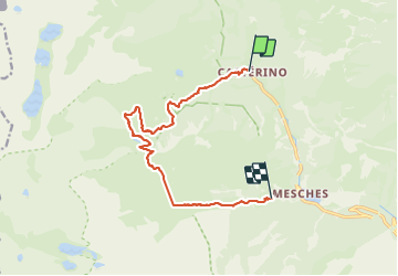


11.6 km | 19.6 km-effort

User


FREE GPS app for hiking
 SityTrail
IGN / Geographical institutes
SityTrail World
The world is yours!
Trail Walking of 12.8 km to be discovered at Provence-Alpes-Côte d'Azur, Maritime Alps, Tende. This trail is proposed by choubaka77.
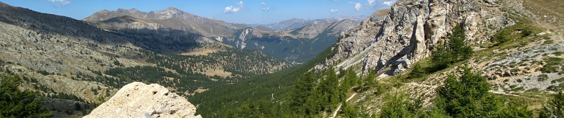
A la découverte des gravures rupestres de la voie sacrée puis les lacs jumeaux et le lac vert avec un retour par la baisse de valoretta avant la piscine !!!


30 photos in total. Please click on a photo to see them all in the gallery.

Walking

On foot

On foot

On foot

Walking

Walking

Walking

Walking

Walking