11.2 km | 13.2 km-effort
randogps80-86
les randos d'Olivier
partout a pied et en moto
Length
12.9 km
Max alt
102 m
Uphill gradient
164 m
Km-Effort
15.1 km
Min alt
39 m
Downhill gradient
165 m
Boucle
Yes
Creation date :
2023-08-24 10:11:32.992
Updated on :
2023-08-24 14:40:32.451
3h25
Difficulty : Difficult
FREE GPS app for hiking
About
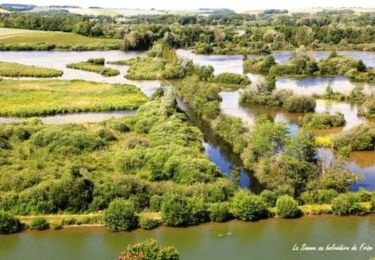
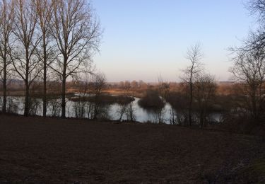
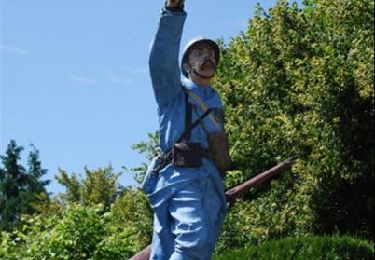
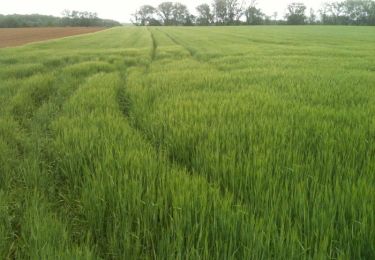
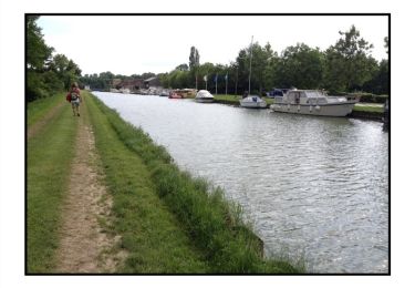
Trail Walking of 12.9 km to be discovered at Hauts-de-France, Somme, Frise. This trail is proposed by les randos d'Olivier.
Positioning
Country:
France
Region :
Hauts-de-France
Department/Province :
Somme
Municipality :
Frise
Location:
Unknown
Start:(Dec)
Start:(UTM)
486115 ; 5530880 (31U) N.
Comments
Trails nearby
La Montagne de Frise
Walking
Medium
(1)
Frise,
Hauts-de-France,
Somme,
France
2.2 km | 2.8 km-effort
49min
Yes
tour des étangs de curlu
Walking
Very easy
Curlu,
Hauts-de-France,
Somme,
France
10.5 km | 11.6 km-effort
2h 41min
Yes
Autour des étangs de Curlu et Feuillères
Walking
Easy
(1)
Curlu,
Hauts-de-France,
Somme,
France
11.6 km | 12.7 km-effort
3h 11min
Yes
Vaux - Marais de la Somme
Other activity
Very easy
Éclusier-Vaux,
Hauts-de-France,
Somme,
France
8.7 km | 10.1 km-effort
2h 13min
Yes
Les Champs Muraine - Cappy
Walking
Medium
Cappy,
Hauts-de-France,
Somme,
France
9.9 km | 11.9 km-effort
2h 15min
Yes
montagne de frise
Walking
Medium
(1)
Frise,
Hauts-de-France,
Somme,
France
2 km | 2.5 km-effort
1h 0min
Yes
Le chemin des Automitrailleuses - Curlu
Walking
Medium
(1)
Curlu,
Hauts-de-France,
Somme,
France
11 km | 12 km-effort
3h 19min
Yes