Trail  Unknown - Mons Klint - Photo
 apa
apa

User

© OpenStreetMap contributors
Length
Length
3.3 km
Max alt
Max alt
125 m
Uphill gradient
Uphill gradient
148 m
Km-Effort
Km-Effort  
5.3 km
Min alt
Min alt
0 m
Downhill gradient
Downhill gradient
147 m
Boucle
Boucle
Yes
Creation date :
2023-08-22 10:32:44.0
Updated on :
2023-08-22 12:25:10.55

(0 Reviews)


Scan this QR Code to open this trail in the SityTrail application

FREE GPS app for hiking

Logo SityTrail SityTrail

IGN / Geographical institutes

Download SityTrail from the App Store Download SityTrail from Google Play

Logo SityTrail SityTrail World

The world is yours!

Download SityTrail from the App Store Download SityTrail from Google Play Download SityTrail on Huawei AppGallery

About

Trail of 3.3 km to be discovered at Region Zealand. This trail is proposed by apa.

Elevation profile

Photos

Positioning

Country:
Denmark
Region :
Region Zealand
Department/Province :
Unknown
Municipality :
Unknown
Location:
Unknown
Start:(UTM)
343086 ; 6093710 (33U) N.

Trails nearby

Trail On foot  - Jydelejet - Photo
On foot
PRO

On foot

Easy
, Region Zealand, , Denmark
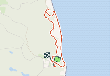
3.2 km | 4.3 km-effort
58min
Yes
Trail sport  - Mon - Photo
sport
thommerel

sport

Very easy
, Region Zealand, , Denmark
2.3 km | 2.7 km-effort
Unknown
Yes


Close
My subscriptions