23 km | 28 km-effort
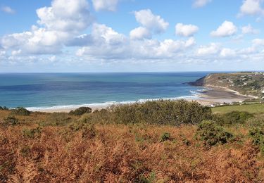
21 Aout Flamanville plage du sciotot boucle terre et mer
chessyca
User GUIDE
Length
22 km
Max alt
128 m
Uphill gradient
349 m
Km-Effort
27 km
Min alt
3 m
Downhill gradient
348 m
Boucle
Yes
Creation date :
2023-08-21 08:29:51.852
Updated on :
2023-08-21 19:50:09.675
5h26
Difficulty : Very difficult
FREE GPS app for hiking
About
Trail Walking of 22 km to be discovered at Normandy, Manche, Flamanville. This trail is proposed by chessyca.
Description
Un trajet pouvant etre optimisé en longeant le grp aux abords de Flamanville par les terres mais quelques km a rajouter
Positioning
Country:
France
Region :
Normandy
Department/Province :
Manche
Municipality :
Flamanville
Location:
Unknown
Start:(Dec)
Start:(UTM)
581562 ; 5486695 (30U) N.
Comments
Trails nearby
Séjour Cotentin Etape 5 Les Pieux - Barneville
Walking
Easy
Les Pieux,
Normandy,
Manche,
France
24 km | 28 km-effort
5h 8min
No
Tour du cap de Flamanville
Walking
Difficult
Flamanville,
Normandy,
Manche,
France
11.5 km | 14.6 km-effort
4h 0min
Yes
Rando des Caps 2013 - 65 km - Flamanville
Mountain bike
Difficult
Flamanville,
Normandy,
Manche,
France
60 km | 73 km-effort
3h 30min
Yes
Rando des Caps 2013 - Flamanville
Mountain bike
Difficult
Flamanville,
Normandy,
Manche,
France
41 km | 48 km-effort
2h 45min
Yes
Entre terre et mer - Les Pieux
Running
Difficult
Les Pieux,
Normandy,
Manche,
France
23 km | 28 km-effort
3h 0min
Yes
Le Rozel - Cap de Rozel
Walking
Medium
Le Rozel,
Normandy,
Manche,
France
7.9 km | 9.3 km-effort
2h 47min
Yes
Les Pieux, Le Rozel, Flamanville
Walking
Medium
Les Pieux,
Normandy,
Manche,
France
21 km | 26 km-effort
4h 5min
Yes