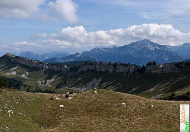
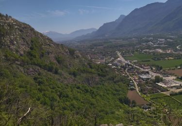
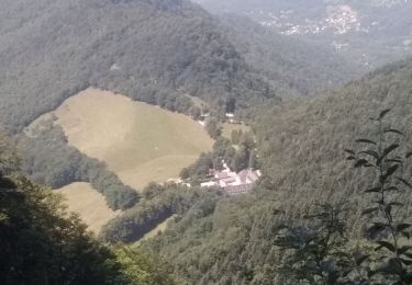
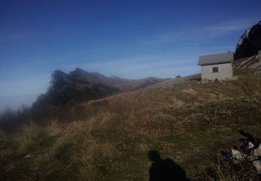
Trail Walking Voreppe - vire de l'aiguille de Chalais  - Photo

vire de l'aiguille de Chalais

 cmarit
cmarit

User

© OpenStreetMap contributors
Length
Length
3.4 km
Max alt
Max alt
1070 m
Uphill gradient
Uphill gradient
256 m
Km-Effort
Km-Effort  
6.8 km
Min alt
Min alt
904 m
Downhill gradient
Downhill gradient
248 m
Boucle
Boucle
No
Creation date :
2023-08-21 07:54:42.56
Updated on :
2023-08-22 09:48:41.807

(0 Reviews)

Walking
Walking
6h26
Difficulty : Difficult

Scan this QR Code to open this trail in the SityTrail application

FREE GPS app for hiking

Logo SityTrail SityTrail
IGN / Geographical institutes

Download SityTrail from the App Store Download SityTrail from Google Play

Logo SityTrail SityTrail World

The world is yours!

Download SityTrail from the App Store Download SityTrail from Google Play Download SityTrail on Huawei AppGallery

About

Trail Walking of 3.4 km to be discovered at Auvergne-Rhône-Alpes, Isère, Voreppe. This trail is proposed by cmarit.

Description

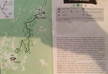
encore un topo de P Sombardier (on les aime!)
Nous avons mis très longtemps, voici pourquoi :
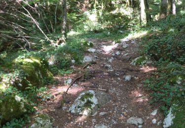
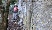
-pour arriver au rappel, en cherchant le passage, en trouvant les premières cordes fixes (plus d'échelle mais pas de pb), nous avons déjà mis environ 1h30.
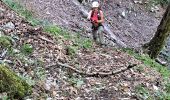
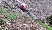
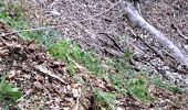
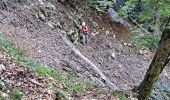
Pour parcourir la vire jusqu'au toboggan, c'est long pour moi qui ai les genoux abimés. Nous sommes contentes quand nous arrivons au couloir équipé d'une corde et satisfaites de voir le grand toboggan derrière avec sa corde pour nous assurer (elle aura servi pour m'aider à la progression, et surtout pour arrêter la glissade sans gravité de ma copine.
Après, c'est encore long pour arriver au grand promontoire mais surtout, qu'il était loin ce collu avec son cheminement en dévers!
Enfin, on s'en est sorti et ce fut une journée bien agréable, même si on se croyait parti pour moins longtemps!...

Elevation profile

Photos

Positioning

Country:
France
Region :
Auvergne-Rhône-Alpes
Department/Province :
Isère
Municipality :
Voreppe
Location:
Unknown
Start:(UTM)
708408 ; 5018729 (31T) N.

Trails nearby

Trail Walking Voreppe - Le Rocher de Lorzier, 1838m - Photo
Walking
tracegps

Walking

Medium
(2)
Voreppe, Auvergne-Rhône-Alpes, Isère, France
12.3 km | 25 km-effort
4h 45min
Yes
Trail Walking Voreppe - 38 voreppe - Photo
Walking
GUIDE
randodyssée

Walking

Medium
Voreppe, Auvergne-Rhône-Alpes, Isère, France
8.7 km | 16.8 km-effort
6h 25min
Yes
Trail Walking Voreppe - chalet des bannette par la cheminée et le pas de l'âne - Photo
Walking
GUIDE
nadd73

Walking

Medium
Voreppe, Auvergne-Rhône-Alpes, Isère, France
12.4 km | 25 km-effort
5h 25min
Yes
Trail Walking Voreppe - 38 la roize - Photo
Walking
GUIDE
randodyssée

Walking

Difficult
Voreppe, Auvergne-Rhône-Alpes, Isère, France
5.8 km | 10.5 km-effort
3h 17min
Yes
Trail Electric bike Voreppe - voreppe saint julien le grand raz voreppe - Photo
Electric bike
gaille38

Electric bike

Difficult
(1)
Voreppe, Auvergne-Rhône-Alpes, Isère, France
35 km | 50 km-effort
Unknown
Yes
Trail Walking Voreppe - Rocher de Lorzier - Photo
Walking
GUIDE
nadd73

Walking

Medium
Voreppe, Auvergne-Rhône-Alpes, Isère, France
12.8 km | 26 km-effort
5h 11min
Yes
Trail Walking Proveysieux - le rocher de l'Eglise en traversee - Photo
Walking
cmarit

Walking

Difficult
(1)
Proveysieux, Auvergne-Rhône-Alpes, Isère, France
10.5 km | 22 km-effort
8h 16min
Yes
Trail Mountain bike Proveysieux - Panflay- Plaine de Girieux- Col de la charmette - Photo
Mountain bike
crocau

Mountain bike

Difficult
Proveysieux, Auvergne-Rhône-Alpes, Isère, France
15.6 km | 24 km-effort
2h 17min
Yes
Trail Walking La Sure en Chartreuse - 38 passieres charminelle zel 01.08.24 - Photo
Walking
GUIDE
randodyssée

Walking

Difficult
La Sure en Chartreuse, Auvergne-Rhône-Alpes, Isère, France
12.2 km | 23 km-effort
7h 14min
Yes


Close
My subscriptions