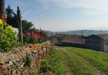
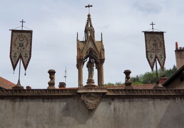
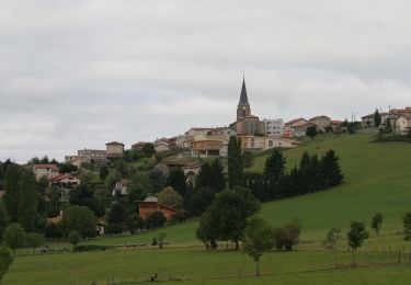
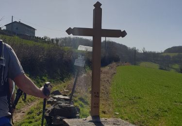
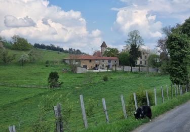
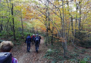
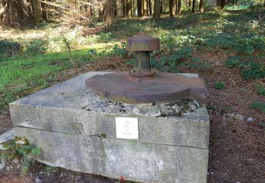
Trail Horseback riding Marcenod - saint christo - Photo
© OpenStreetMap contributors
Length
Length
7.5 km
Max alt
Max alt
864 m
Uphill gradient
Uphill gradient
152 m
Km-Effort
Km-Effort  
9.7 km
Min alt
Min alt
729 m
Downhill gradient
Downhill gradient
227 m
Boucle
Boucle
No
Creation date :
2023-08-20 11:09:27.891
Updated on :
2023-08-20 14:37:05.001

(0 Reviews)

Horseback riding
Horseback riding
1h53
Difficulty : Easy

Scan this QR Code to open this trail in the SityTrail application

FREE GPS app for hiking

Logo SityTrail SityTrail

IGN / Geographical institutes

Download SityTrail from the App Store Download SityTrail from Google Play

Logo SityTrail SityTrail World

The world is yours!

Download SityTrail from the App Store Download SityTrail from Google Play Download SityTrail on Huawei AppGallery

About

Trail Horseback riding of 7.5 km to be discovered at Auvergne-Rhône-Alpes, Loire, Marcenod. This trail is proposed by AnneMarie Michel.

Description

rando

Elevation profile

Positioning

Country:
France
Region :
Auvergne-Rhône-Alpes
Department/Province :
Loire
Municipality :
Marcenod
Location:
Unknown
Start:(UTM)
615024 ; 5046510 (31T) N.

Trails nearby

Trail Walking Valfleury - Valfleury - Découverte de ce petit Lourdes et de ses environs - Photo
Walking
Sigmut

Walking

Medium
Valfleury, Auvergne-Rhône-Alpes, Loire, France
6.4 km | 9.5 km-effort
1h 54min
Yes
Trail On foot Saint-Christo-en-Jarez - Le sentier nature du Paradis - Photo
On foot
GUIDE+

On foot

Easy
Saint-Christo-en-Jarez, Auvergne-Rhône-Alpes, Loire, France
7.8 km | 11.3 km-effort
2h 34min
Yes
Trail Walking Marcenod - Marcenod - Photo
Walking
psesjs

Walking

Very easy
Marcenod, Auvergne-Rhône-Alpes, Loire, France
20 km | 29 km-effort
4h 50min
Yes
Trail Walking Saint-Christo-en-Jarez - st chisto en jarez - Photo
Walking
dudu42

Walking

Easy
Saint-Christo-en-Jarez, Auvergne-Rhône-Alpes, Loire, France
10.4 km | 14.5 km-effort
2h 14min
Yes
Trail Mountain bike Fontanès - la fouillouse antenne Aveizieux  - Photo
Mountain bike
bena42

Mountain bike

Difficult
Fontanès, Auvergne-Rhône-Alpes, Loire, France
11.3 km | 14.3 km-effort
4h 9min
No
Trail Walking Châtelus - 42-Chatelus-St-Christo-19km-590m-dec23 - Photo
Walking
SyMA

Walking

Difficult
Châtelus, Auvergne-Rhône-Alpes, Loire, France
18.7 km | 27 km-effort
6h 1min
Yes
Trail Walking Fontanès - boucle du bois Sonnier - Photo
Walking
bena42

Walking

Easy
Fontanès, Auvergne-Rhône-Alpes, Loire, France
4.6 km | 6 km-effort
2h 1min
Yes
Trail Walking Fontanès - Fontanès  - Photo
Walking
yvon42

Walking

Easy
Fontanès, Auvergne-Rhône-Alpes, Loire, France
10.6 km | 14.4 km-effort
4h 35min
Yes
Trail On foot Larajasse - Les trois villages - Photo
On foot
grange69

On foot

Difficult
Larajasse, Auvergne-Rhône-Alpes, Rhône, France
21 km | 31 km-effort
7h 8min
Yes


Close
My subscriptions